
What is recorded here
In pasture, located on the summit of a low ridge with excellent views over a broad sweep of countryside. The ridge slope is steepest to S−SW, overlooking a shallow valley of damp pasture, with a stream 350m to W.
Roughly circular raised area or platform (30.8m E−W; c. 28m N−S) defined by a scarp ( H 1.8m at NNE, 1.2m at SE) which retains a hint of an internal rim on the N arc. The scarp is enhanced on the N and S arcs by the natural ridge slope. A field fence on a roughly E−W axis crosses the S edge of the rath. To S of this, the S arc of the rath scarp is engulfed in dense overgrowth, and is difficult to examine. At SW−NW the scarp has been levelled to a low rise.
Four contiguous boulders sit on the top edge of the enclosing scarp at NE and there are two close-set boulders on the inner edge of the scarp at NW, but it is not clear if these are remnants of an original kerb or stone facing or simply the result of more recent changes to the rath. Several large stones and boulders lie on the external slope of the scarp, and a loose spread of stones is evident in the interior at NW−N, probably field clearance stones.
There is another rath (MA071-055----) 140m to SW at the W end of the same ridge, and an enclosure (MA071-057----), now destroyed, is 130m downslope to SE.
Compiled by: Jane O’Shaughnessy
Date of upload: 30 July 2021
This remains an important historical record, but the official description says the monument is no longer visible or has been destroyed. The monument record does not grant public access. Check the route and ask the landowner before entering private land.
- What survives
- No visible remains or recorded as destroyed
Places near here
 Lislackagh National Schoolschool · 1137 yd
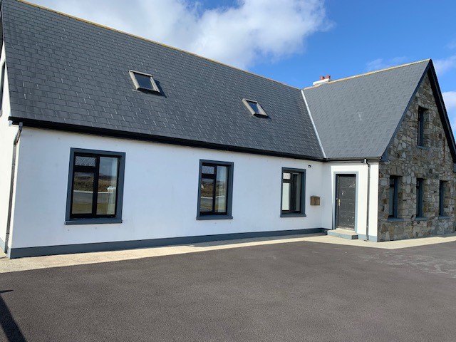 Enclosure in LissanumeraEnclosure · 1282 yd
 Enclosure in Esker (gallen By., Meelick. Par.)Enclosure · 1316 yd
 bridgebridge · 1655 yd
 Brabazon WoodsForest · 1.4 mi
 Youth Memorial GardenMemorial · 1.5 mi
 Procession Of The SoulsMemorial · 1.7 mi
 Thorn CaveCave · 1.9 mi
 HawthornHawthorn · 3.5 mi
 Castle (in Ruins)Castle, unclassified · 3.7 mi
 Hennigan's Heritage CentreHeritage attraction · 3.7 mi
 Castle in ruinsCastle, tower house · 4.8 mi
Other information
Photo: Credit not shown in the picture search · Rights wording not checked; contact us if this picture should be removed