What is recorded here
In level tillage. Cropmark (AP, Dr. D.D. C. Pochin Mould) shows univallate oval enclosure.
The above description is derived from the published 'Archaeological Inventory of County Cork. Volume 2: East and South Cork' (Dublin: Stationery Office, 1994). In certain instances the entries have been revised and updated in the light of recent research.
Date of upload/revision: 14 January 2009
The monument record does not grant public access. Check the route and ask the landowner before entering private land.
- What survives
- Recorded monument
Places near here
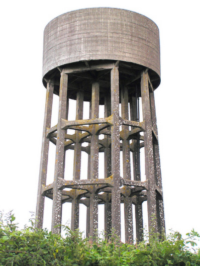 water towerwater tower · 535 yd
 CarrignashinnyCountry house · 1186 yd
 BarrowBarrow, mound barrow · 1245 yd
 Grave YardGraveyard · 1288 yd
 William Heffernan MemorialMemorial · 1.5 mi
 Castlemartyr CastleCastle · 1.7 mi
 Pigeon WoodWood · 1.8 mi
 Historical Graveyard InformationVisitor information · 1.9 mi
 Castle (Site of)Castle, unclassified · 1.9 mi
 Mitchell's WoodWood · 2.0 mi
 Fainin's WellSpring · 2.1 mi
 N25 Picnic SitePicnic place · 2.4 mi