
What is recorded here
In undulating rocky pasture, on the E side of a cliff and within a field system (SL033-070----). A slightly raised roughly pentagonal area (18m N-S; 14m E-W) defined by an earth and stone bank (int. H 0.2m; ext. H 0.4m) on the N, E and S sides. A vertical cliff (H 2m) defines the W side of the interior. The cliff changes direction, at an oblique angle, from a NNW-ESE orientation to a NE-SW orientation at W giving the interior its pentagonal shape. The earth and stone bank has a discontinuous outer facing of upright limestone slabs on the N and half of the E side. There are many small gaps (Wth 0.7-1m) through the bank. The interior is undulating and clear of overgrowth. To SE of centre is a weathered rectangular limestone block (L 0.9m; Wth 0.7m; H 0.65m; long axis E-W) with possible packing-stones under its N side. A denuded relict earth and stone field boundary (L 16m, oriented ENE-WSW) abuts the NE corner of the fort. This field boundary is visible in an aerial photograph (IASAP, 3043028-9) where it is seen to turn to the N c. 20m from the fort towards a cliff-edge fort (SL033-056----) c. 50m to N. Another relict boundary visible in the same photograph abutting the SW corner of the fort is not visible at ground level.
The above description is derived from the published 'Archaeological Inventory of County Sligo' compiled by Ursula Egan, Elizabeth Byrne, Mary Sleeman with Sheila Ronan and Connie Murphy (Dublin Stationery Office, 2005).
Date of upload: 18 January 2008
The monument record does not grant public access. Check the route and ask the landowner before entering private land.
- What survives
- Recorded monument
Places near here
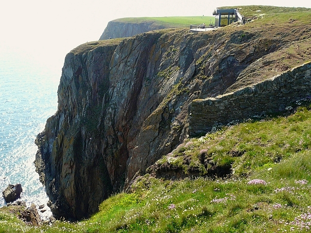 Cliff-edge fort in Carrigans UpperCliff-edge fort · 78 yd
 Hut site in Carrigans UpperHut site · 185 yd
 KilnKiln, lime · 547 yd
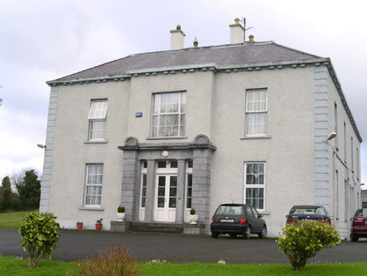 Earlsfieldhouse · 1204 yd
 Brother WalfridMemorial · 1.1 mi
 Ballymote CastleCastle · 1.2 mi
 RathdoonyCastle, motte · 1.3 mi
 ElderElder · 3.1 mi
 James MorrisonMemorial · 3.3 mi
 European ashEuropean ash · 3.6 mi
 Caves of KeshCave · 3.9 mi
 School CaveCave · 3.9 mi
Other information
Photo: Credit not shown in the picture search · Rights wording not checked; contact us if this picture should be removed