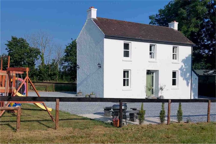
What is recorded here
No visible enclosure exists on the open ground, yet the buried curve still marks the boundary of a lost field. Whether the fosse kept livestock, people or simply pride is no longer possible to prove. The rath cut through it later, treating the older line as nothing more than soil to displace.
This enclosure (37.5m x 31m), which is defined by a fosse, predates and is truncated by a rath (CO087-030----) and was identified during a geophysical survey prior to pre-development archaeological testing on a large housing development named Herons Wood at Carrigaline Middle (Sherlock 2002; 2004, 62-3). Only the W arc of the fosse (L c. 30m) which lay outside the rath at W was excavated. The sides of the fosse (Wth 1.6m; D 0.9m) sloped regularly to a flat base (Wth 0.3-0.4m) and it was filled with a stony silty clay. No archaeological features were noted in the W portion of the interior, which was excavated.
The above description is derived from 'The Archaeological Inventory of County Cork. Volume 5' (Dublin: Stationery Office, 2009).
Date of upload: 22 December 2009
The monument record does not grant public access. Check the route and ask the landowner before entering private land.
- What survives
- Recorded monument
Places near here
 Pit-burial in Carrigaline MiddlePit-burial · 55 yd
 Burnt spread in Carrigaline MiddleBurnt spread · 84 yd
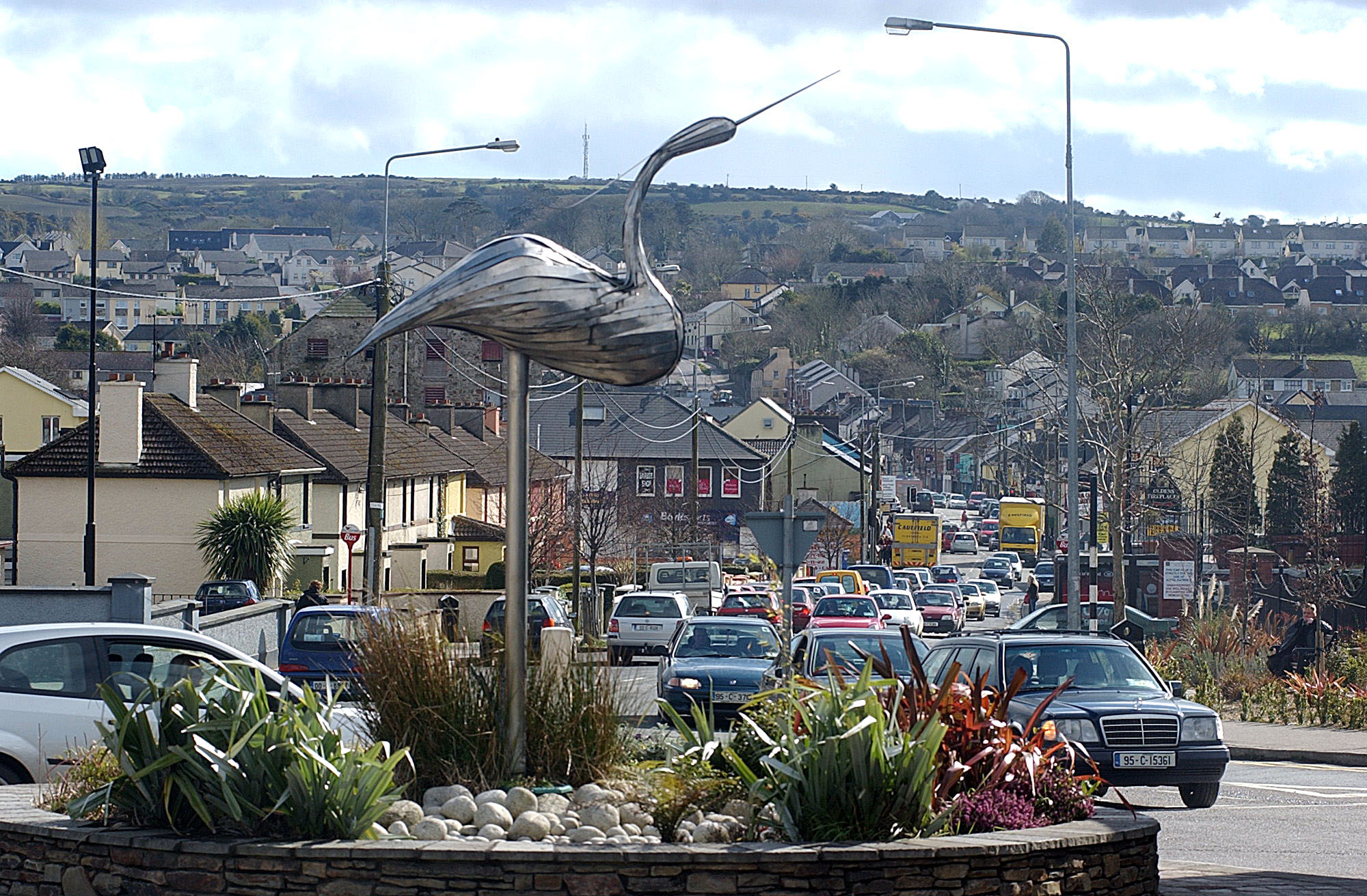 IndicatedKiln, lime · 364 yd
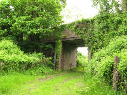 Ballyhemiken Bridgebridge · 584 yd
 Cogan's CastleCastle · 1633 yd
 Ballea CastleCastle, tower house · 1.5 mi
 Pauper's GraveyardArchaeological place · 2.1 mi
 Be Framed Fine Art GalleryGallery · 4.2 mi
 Graveyard in CurraghconwayGraveyard · 4.3 mi
 Goat IslandIslet · 4.3 mi
 Vernon Mount ViewViewpoint · 4.7 mi
 City View SummitViewpoint · 4.8 mi
Other information
Photo: Credit not shown in the picture search · Rights wording not checked; contact us if this picture should be removed