What is recorded here
On the edge of an area of poor land, in a reclaimed field under grass. A square enclosure (dims. c. 36m N-S and E-W) identified by Lidar commissioned by Transport Infrastructure Ireland (pers. comm. Simon Dowling 4 February 2018). The N enclosing element is visible on Bing Maps - aerial (https://binged.it/2FjydrV).
Compiled by: Jean Farrelly
Date of upload: 7 March 2018
The monument record does not grant public access. Check the route and ask the landowner before entering private land.
- What survives
- Recorded monument
Places near here
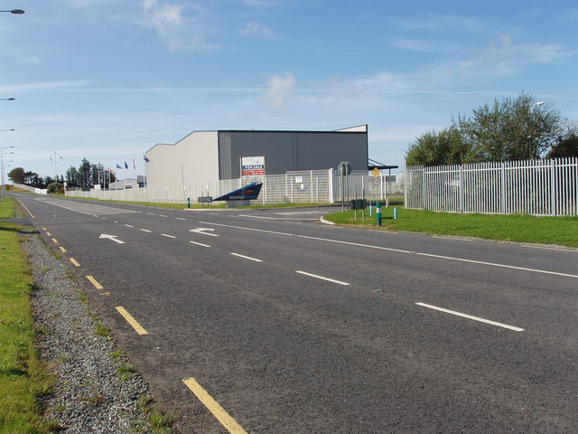 Enclosure in Ballygarran (middlethird By., Newcastle Par.)Enclosure · 675 yd
 Megalithic structure in CarrickanureMegalithic structure · 824 yd
 Site of CastleCastle, unclassified · 1375 yd
 Church in Kilmoyemoge EastChurch · 1492 yd
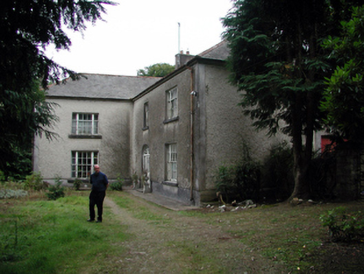 Knockaderry Househouse · 1.1 mi
 Glenhouse WoodForest · 2.4 mi
 Waterford & Suir Valley RailwayHeritage attraction · 2.6 mi
 Donnell's HillMountain / peak · 3.0 mi
 CastleCastle, unclassified · 3.2 mi
 Sargent's magnoliaSargent's magnolia · 3.3 mi
 Mount Congreve GardensHeritage attraction · 3.8 mi
 St. Martin's WellSpring · 4.2 mi