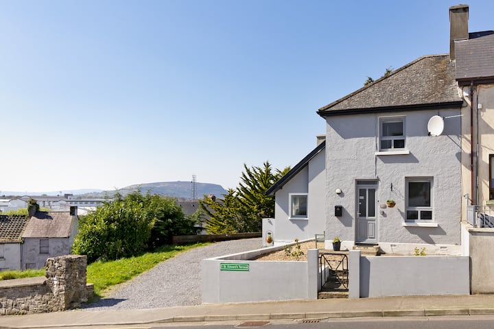
What is recorded here
In level, lowlying coastal pasture, located c. 90m E of a rocky shoreline. An expanse of damp pasture, cut by modern drains, lies to N-NE. Slightly raised, roughly oval area (c. 23m N-S; c. 20m E–W) defined by a stony scarp. The west half is best preserved and is well defined on the perimeter at WSW–N by a scarp (ext. H 1m) with an irregular internal stony rim or bank. The NE quadrant has been quarried into and appears now as an area of uneven ground c. 1m lower in height than the W half of the enclosure. The SE quadrant is less severely damaged and is defined on the perimeter at ESE–S by a stony scarp with a low internal lip (Wth c. 2m; ext. H 0.6m). There is a broad break (Wth 8m) at S–SW. An E-facing scarp (max. H 1m) extends through the centre of the interior, on a roughly N-S line, marking the edge of the disturbed or quarried out area. The enclosure is not marked on any OS 6-inch map. It is known locally as a ‘fort’.
Compiled by: Jane O'Shaughnessy
Date of upload: 31 December 2013
The monument record does not grant public access. Check the route and ask the landowner before entering private land.
- What survives
- Recorded monument
Places near here
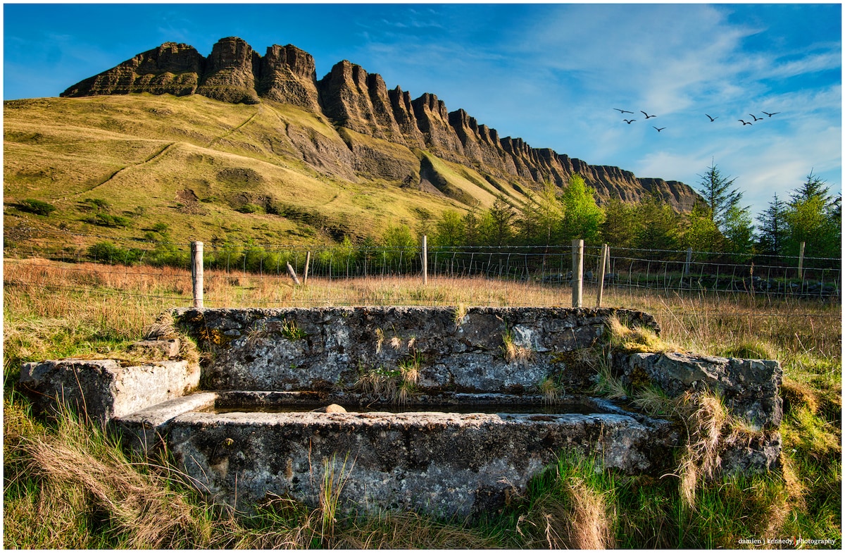 Pollacheeny FortFairy fort / earthen ringfort · 731 yd
 IndicatedFairy fort / earthen ringfort · 886 yd
 CastleCastle, unclassified · 1087 yd
 Castle FirbisCastle, tower house · 1.2 mi
 Rathlee HeadHeadland · 1.5 mi
 Rathlee Signal TowerRuins · 1.7 mi
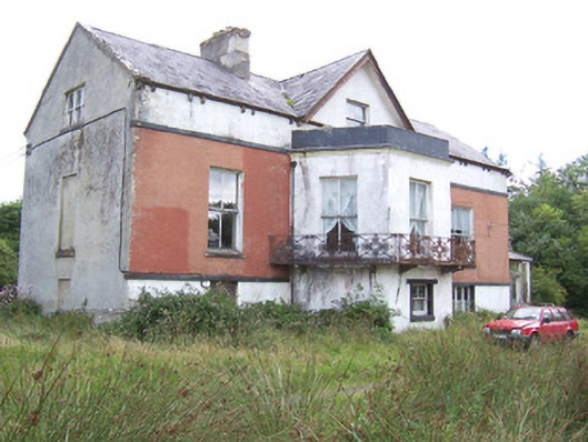 Kilglass Househouse · 1.8 mi
 Wild Atlantic Way: Inishcrone PierVisitor information · 3.0 mi
 Enniscrone BeachBeach / strand · 4.0 mi
 The Black PigMemorial · 4.2 mi
 Grave of the Black PigArchaeological place · 4.2 mi
 Bunowna PointHeadland · 4.8 mi
Other information
Photo: Credit not shown in the picture search · Rights wording not checked; contact us if this picture should be removed