What is recorded here
Visible on an aerial photo (GSI N 388-7) as the cropmark of a circular enclosure. On a gentle E-facing pasture slope. No visible surface trace of the feature survives.
Compiled by: Gearóid Conroy
Date of upload: 10 June 2011
The monument record does not grant public access. Check the route and ask the landowner before entering private land.
- What survives
- Recorded monument
Places near here
 Enclosure in CarraghEnclosure · 547 yd
 Catholic Church of Our Lady and Saint Josephchurch/chapel · 909 yd
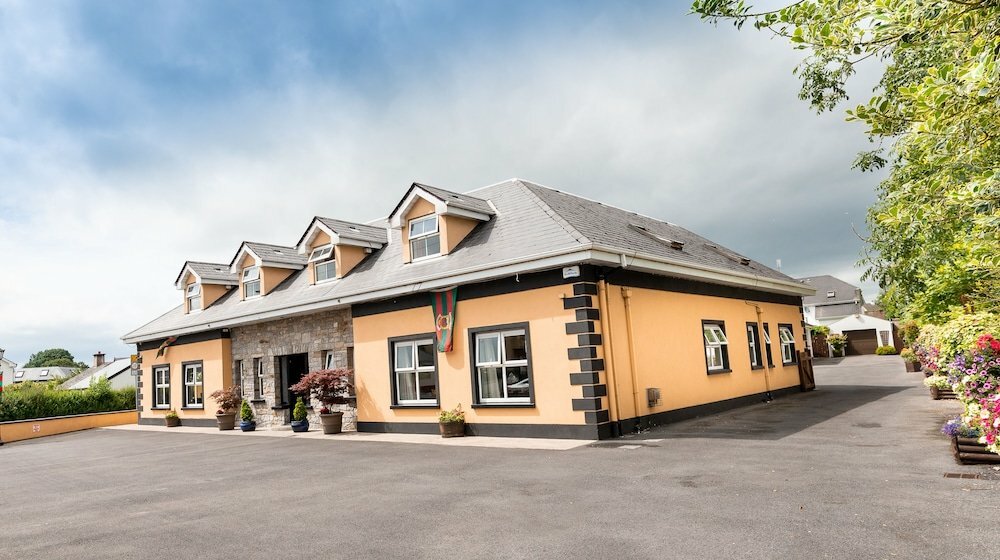 Carragh CrossCross, Wayside cross · 936 yd
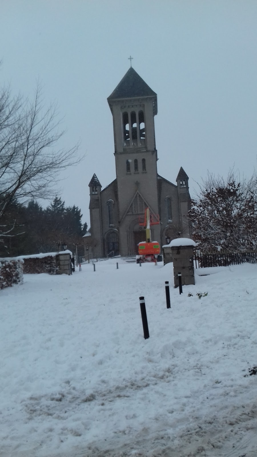 Church in CarraghChurch · 1064 yd
 Museum of MotorsportMuseum · 1502 yd
 IndicatedCastle, tower house · 1.3 mi
 European Crab AppleEuropean Crab Apple · 2.3 mi
 Sallins LodgeCastle, tower house · 3.0 mi
 Naas ParkWood · 3.3 mi
 Grand Canal WayVisitor information · 3.7 mi
 Newbridge SilverwareMuseum · 5.6 mi
 Athgoe HillMountain / peak · 9.5 mi