
What is recorded here
Shown on Longfield's 1813 map (NLI Ms. 21. F. 34 (8)) accompanying a 'Survey … of the Estate of J. Mansfield Esq.' as a circular enclosure named 'Moat'. On level pasture at the top of a moderately steep SE-facing pasture slope in a field that is known locally as 'The Moat Field'. In 1986 a pit was visible in a sand/gravel-pit face 'adjacent to the site' (SMR file), and a large pit is shown immediately to the N of the monument on the 1st. Ed. (1838) of the OS 6-inch map. That pit has since been infilled and the area is grassed-over. No visible surface trace of the monument, which may have been a ringfort, survives. (NLI Ms. 16. H. 34 (5))
Compiled by: Gearóid Conroy
Date of upload: 10 June 2011
The monument record does not grant public access. Check the route and ask the landowner before entering private land.
- What survives
- Recorded monument
Places near here
 Catholic Church of Our Lady and Saint Josephchurch/chapel · 362 yd
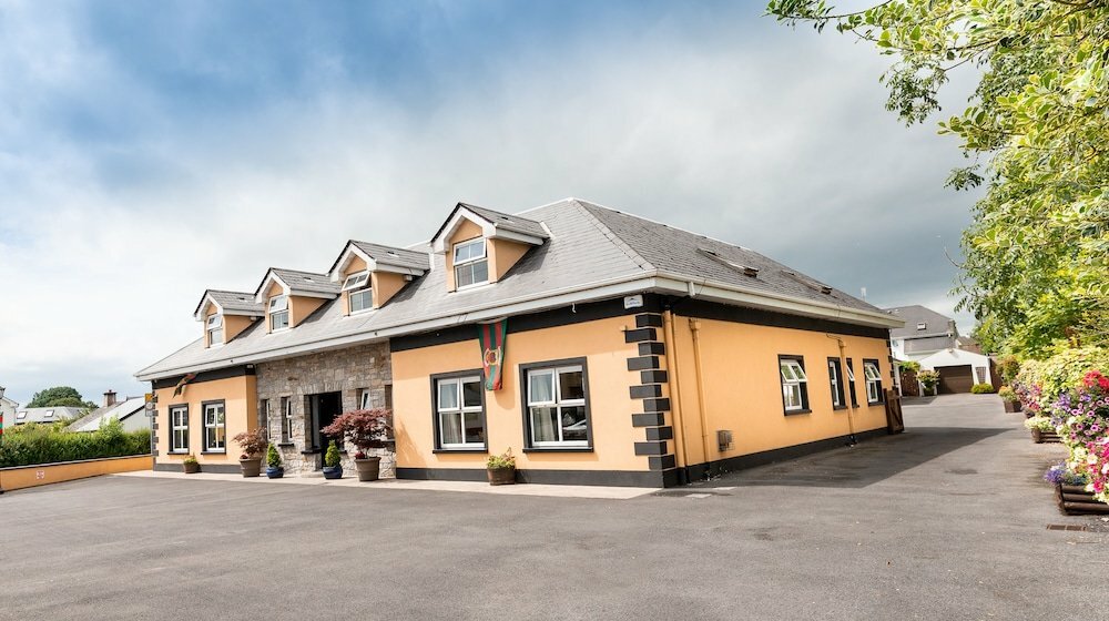 Carragh CrossCross, Wayside cross · 391 yd
 Site of Carragh Parish Church (C of I)Archaeological place · 535 yd
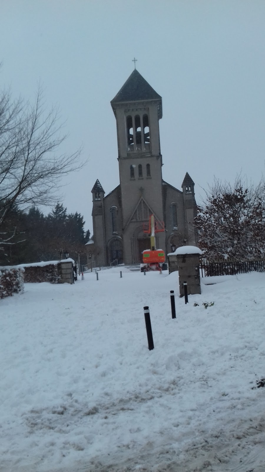 Church in CarraghChurch · 556 yd
 Museum of MotorsportMuseum · 1.1 mi
 IndicatedCastle, tower house · 1.5 mi
 European Crab AppleEuropean Crab Apple · 2.1 mi
 Castle RagCastle, tower house · 2.8 mi
 Naas ParkWood · 3.3 mi
 Grand Canal WayVisitor information · 3.9 mi
 Newbridge SilverwareMuseum · 5.3 mi
 Athgoe HillMountain / peak · 9.6 mi
Other information
Photo: Credit not shown in the picture search · Rights wording not checked; contact us if this picture should be removed