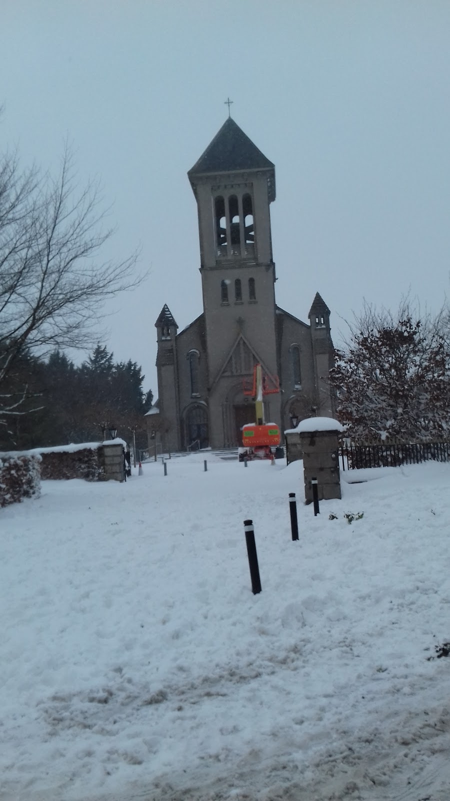
What is recorded here
Possibly the 'small friary' mentioned by Tickell (1960, 375) as being in existence in 1731, and a church is shown here on Taylor's 1783 Map of County Kildare. According to the OSL (Herity 2002, 45 (137)), there existed '… the ruins of an old church, the burial ground (KD018-011002-) belonging to which is still in use'. In the S sector of a graveyard (KD018-011002-). This levelled monument survives as a low, grass-covered, rectangular area (dims. L 15.5m E-W; Wth 10.7m; H 0.7m) defined along the N side by low wall facing (H 0.7m) of randomly coursed limestone blocks and spall-stones. A roadside cross (KD018-010----) once stood c. 200m to the NW and a second roadside cross (KD018-012----) existed in the vicinity also.
Compiled by: Gearóid Conroy
Date of upload: 10 June 2011
The monument record does not grant public access. Check the route and ask the landowner before entering private land.
- What survives
- Recorded monument
Places near here
 Site of Carragh Parish Church (C of I)Archaeological place · 25 yd
 Carragh CrossCross, Wayside cross · 241 yd
 Catholic Church of Our Lady and Saint Josephchurch/chapel · 330 yd
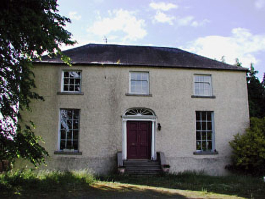 Liffey Lodgepresbytery/parochial/curate's house · 667 yd
 Museum of MotorsportMuseum · 1.4 mi
 IndicatedCastle, tower house · 1.5 mi
 European Crab AppleEuropean Crab Apple · 1.8 mi
 Castle RagCastle, tower house · 2.5 mi
 Naas ParkWood · 3.1 mi
 Grand Canal WayVisitor information · 4.1 mi
 Newbridge SilverwareMuseum · 5.2 mi
 Councillor Jim MileyMemorial · 9.3 mi
Other information
Photo: Credit not shown in the picture search · Rights wording not checked; contact us if this picture should be removed