What is recorded here
Four decades after the last recorded upload, the Carra enclosure still holds its shape on a Galway hummock. A shallow scarp, barely a metre high, marks the edge of a space wide enough for a small field or a forgotten home. The ground rises inward, and faint ridges run east to west across the centre. Whatever it was, it has spent centuries being grazed, rained on and half erased. The shape remains because the land remembered the difference between inside and outside.
On a hummock in grassland. This poorly preserved subcircular enclosure (40.8m N-S; 38.7m E-W), defined by a scarp (H 0.55-0.9m), is visible midway around the hummock. The interior rises up towards the centre and traces of E-W running cultivation ridges are evident. The siting would be suitable for a rath but it may be a later enclosure.
Compiled by: Galway Archaeological Survey, UCG
Date of upload: 19 February 2019
The monument record does not grant public access. Check the route and ask the landowner before entering private land.
- What survives
- Recorded monument
Places near here
 Field system in Carra (loughrea By.)Field system · 210 yd
 Enclosure in Carra (loughrea By.)Enclosure · 255 yd
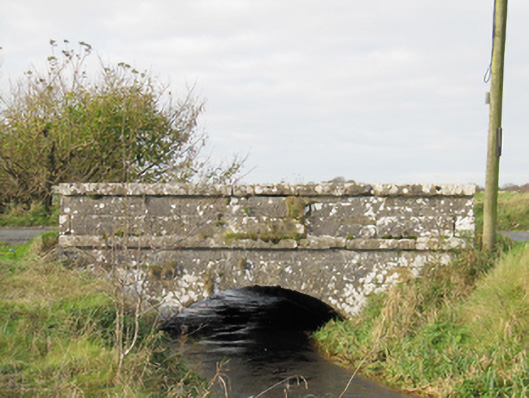 Carra Bridgebridge · 1319 yd
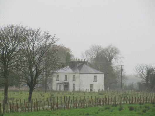 Rathglass Housecountry house · 1.1 mi
 Drought Castle (in Ruins)Castle, tower house · 2.8 mi
 Dartfield Horse MuseumHeritage attraction · 2.8 mi
 Turoe StoneHeritage attraction · 3.0 mi
 Galboley Castle (in ruins)Castle, unclassified · 3.0 mi
 Woodlawn WoodsForest · 4.4 mi
 Large-leaved LimeLarge-leaved Lime · 4.5 mi
 Bush IslandIslet · 5.7 mi
 Middle IslandIslet · 5.7 mi