
What is recorded here
Enclosure in Carheenlea is a 45-metre circular field on a gentle south-facing slope in County Galway, marked by a modern-looking drystone wall with an entrance gap at north-northeast. Local tradition says the mounds and hollows outside the wall mark old thatched houses, suggesting the circle may have gathered a small neighbourhood rather than stood empty. The wall still draws the eye back into its own shape, as if the land remembered the boundary even when the houses forgot it.
On a gentle S-facing slope in undulating grassland. Marked on 1st ed. of OS 6-inch map as a circular enclosure (D c. 45m) defined by two concentric circles of hachures. What survives is a circular field (D 45m) delimited by a modern-looking drystone wall with an entrance gap at NNE. A number of mounds and hollows are visible externally: according to local tradition, these mark the site of old thatched houses.
The above description is derived from the published 'Archaeological Inventory of County Galway Vol. II - North Galway'. Compiled by Olive Alcock, Kathy de hÓra and Paul Gosling (Dublin: Stationery Office, 1999).
Date of upload: 05 August 2010
The monument record does not grant public access. Check the route and ask the landowner before entering private land.
- What survives
- Recorded monument
Places near here
 IndicatedFairy fort / ringfort · 449 yd
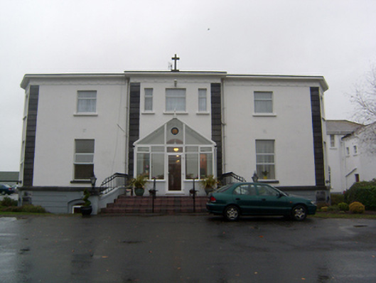 Cuan Mhuirehouse · 1473 yd
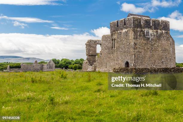 Kilskeagh castleCastle · 1.0 mi
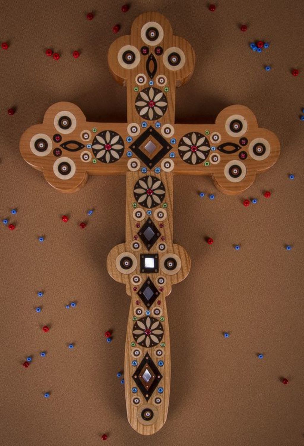 Wooden CrossCross, Market cross · 1.2 mi
 Church in Grange EastChurch · 1.3 mi
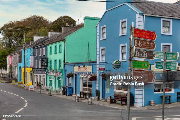 Cashlaunnagrantha in ruinsCastle, tower house · 1.3 mi
 The HazelWood · 1.9 mi
 European BeechEuropean Beech · 3.3 mi
 First Battle of Athenrybattle · 4.5 mi
 Athenry CastleHeritage attraction · 5.1 mi
 Athenry AbbeyHeritage attraction · 5.2 mi
 Rabbit IslandIslet · 10 mi
Other information
Photo: Credit not shown in the picture search · Rights wording not checked; contact us if this picture should be removed