What is recorded here
On rolling pasture on the SW of Boarmanshill on a low knoll on the immediate SW side of a pond in a glacial hollow with a view over Limerick City. A well annotated ‘Toberaguile’ is located 180m to the SW, a possible hilltop enclosure or royal fort of Lisgorey (LI007-002----) is located 850m to N, with a smaller ringfort (LI007-003----) 500m NNE. Depicted on 1840 ed. OS 6-inch map as a circular enclosure. The site description is based upon the 1897 OS 25-inch map which shows that the monument was incorporated into field boundaries with the levelling of the northern half of the earthwork. The enclosure is oval (dims. c. 27m NW-SE x 22m NE-SW). Visible as a low relief earthwork on Digital Globe orthophotos taken 2011-13 and as a cropmark on Google Earth orthoimage taken 28/06/2018.
See attached Google Earth orthophoto
Compiled by: Edmond O’Donovan
Date of upload: 23 July 2020
The monument record does not grant public access. Check the route and ask the landowner before entering private land.
- What survives
- Recorded monument
Places near here
 Glenstal Abbeygate lodge · 1137 yd
 Killeen Burial GroundChildren's burial ground · 1193 yd
 Settlement desertedSettlement deserted, medieval · 1457 yd
 IndicatedCastle, unclassified · 1462 yd
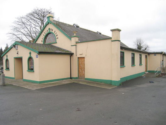 Moroe Muintir na Tíre Hallcommunity centre · 1532 yd
 Sliev Felim WayVisitor information · 1.1 mi
 Graveyard in AbingtonGraveyard · 2.2 mi
 Bawn in RathBawn · 2.8 mi
 Slieve Felim WayWalking route · 3.4 mi
 Slieve FelimMountain / peak · 4.3 mi
 KnockseefinMountain / peak · 7.4 mi
 The Pollagh TrailNature reserve · 7.6 mi