What is recorded here
This subcircular enclosure (9.9m N-S; 9m E-W) lies c. 4.5m to the NE of a cashel (GA071-014----). It is defined by the remains of a grassed-over stone wall. Internal stone-facing is evident at NW and there is an internal division in the SW quadrant of the interior; the latter is also defined by a grassed-over wall. No entrance feature is evident. Difficult to classify; possibly the remains of a house.
Compiled by: Olive Alcock
Date of upload: 20 October 2016
The monument record does not grant public access. Check the route and ask the landowner before entering private land.
- What survives
- Recorded monument
Places near here
 CaherlissakillFairy fort / ringfort · 62 yd
 Man-made underground passageMan-made underground passage · 1149 yd
 R. C. ChapelChurch · 1453 yd
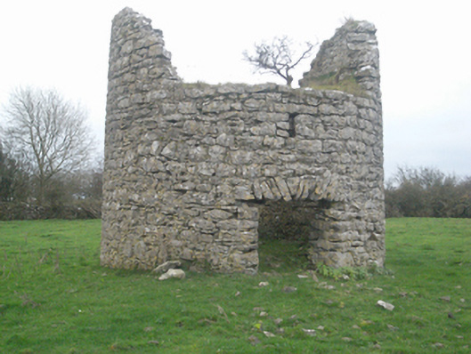 mill (wind)mill (wind) · 1.5 mi
 Castle FrenchCastle, unclassified · 1.5 mi
 CashlaundarraghCastle · 1.7 mi
 The HazelWood · 2.0 mi
 SycamoreSycamore · 2.2 mi
 Knockmoy AbbeyHeritage attraction · 4.2 mi
 First Battle of Athenrybattle · 4.8 mi
 Menlough IRAMemorial · 7.4 mi
 Tober PatrickHoly well · 1.1 mi