What is recorded here
According to Power (1952, 30) the townland of Cahergal was named after a fort that was composed of white stones, some evidence of which survived in the early 20th century. It remains unlocated in an area that is now largely forested.
Power, Rev. P. (1952) The placenames of the Decies. (second ed.) Cork University Press.
Compiled by: Michael Moore
Date of upload: 16 February 2011
The monument record does not grant public access. Check the route and ask the landowner before entering private land.
- What survives
- Recorded monument
Places near here
 Tobernahulla WellHoly well · 941 yd
 Saint Micheal's Holy WellSpring · 972 yd
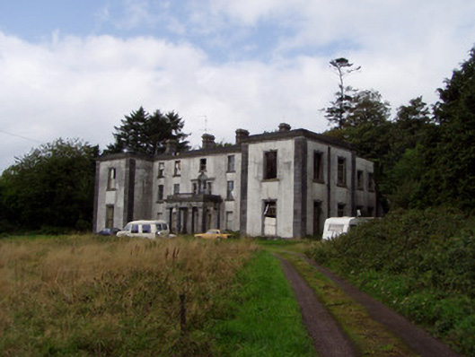 Kilmurry Housecountry house · 1.2 mi
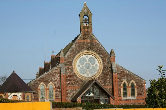 Leitrim Church (in Ruins)Church · 1.5 mi
 Castle (in Ruins)Castle, tower house · 2.0 mi
 Leitrim Castle (in Ruins)Castle, Anglo-Norman masonry castle · 2.2 mi
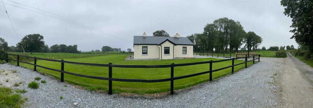 Fulacht fia in CoolbaunFulacht fia · 2.3 mi
 KnocknaloughMountain / peak · 2.4 mi
 Mocollop Picnic SitePicnic place · 2.4 mi
 Natural heritage of CoolagowanVisitor information · 2.4 mi
 Kilworth WoodWood · 4.0 mi
 Ballard WaterfallWaterfall · 4.6 mi