What is recorded here
On poorly drained grassland. Outline of circular-shaped area (approx. diam. 23m) defined by a fosse visible on Digital Globe orthophoto taken 2011-13 and earlier OSi orthophotos.
Compiled by: Caimin O'Brien
Date of upload: 25 June 2020
The monument record does not grant public access. Check the route and ask the landowner before entering private land.
- What survives
- Recorded monument
Places near here
 Mound in Caherelly EastMound · 729 yd
 BarrowBarrow, ring-barrow · 830 yd
 Black Castle (Site of)Castle, unclassified · 976 yd
 Caherelly Church (in ruins)Church · 1043 yd
 Caherelly Cottagehouse · 1083 yd
 Ballybricken Court (in ruins)Castle, tower house · 1628 yd
 St. Patrick's WellSpring · 4.5 mi
 Kilteely HillMountain / peak · 4.6 mi
 Flat cemetery in Knockainy WestFlat cemetery · 5.9 mi
 St Patrick's WellSpring · 9.4 mi
 Grave YardGraveyard · 1062 yd
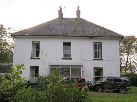 Caherelly Castlecountry house · 1171 yd