What is recorded here
On rough pasture on a shelf on an E-facing slope leading down to the Caher river. An irregular enclosure (c. 37m N-S; c. 34m E-W) defined by mound walls and visible on Digital Globe (2011-13) and on OSi Aerial Premium orthophotos (2012-2018). The enclosure was reported to the National Monuments Service by Ros Ó Maoldúin. Mound walls (CL005-282----) extend up the valley W from close to this enclosure.
Compiled by: Mary Tunney
Date of upload: 28 Septembe 2021
The monument record does not grant public access. Check the route and ask the landowner before entering private land.
- What survives
- Recorded monument
Places near here
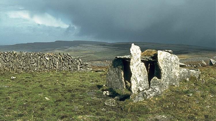 IndicatedEnclosure · 505 yd
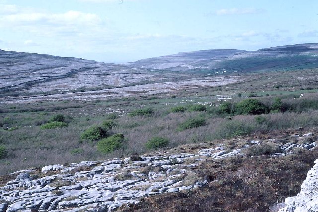 Derrynavahagh CaherFairy fort / stone ringfort · 570 yd
 Formoyle R.C. ChapelChurch · 593 yd
 Slieve ElvaMountain / peak · 1.7 mi
 Faunarooska Castle (in ruins)Castle, tower house · 1.8 mi
 FaunarooskaCave · 2.0 mi
 CappanawallaMountain / peak · 2.2 mi
 Balliny CaherRuins · 2.2 mi
 PollbailinyCave · 2.2 mi
 Fanore BeachVisitor information · 2.3 mi
 Gregan CastleCastle · 2.6 mi
 Black HeadHeadland · 3.8 mi