What is recorded here
In pasture on a gently undulating SSW-facing slope, with moderate to good views in all directions. Located 500m N of the River Maigue and the townland boundary with Ballynahown. Ringfort (LI021-091----) 130m to S and possible barrow (LI021-088----) 220m to WSW. The site is not depicted on OSi maps and was identified as a potential feature from examination of a Geological Survey of Ireland orthoimage (GSIAP R414-15). Inspected by the ASI in 2001 when no trace was visible on the ground. No surface remains visible on Google Earth orthoimages taken 28/06/2018 and 14/02/2020.
See attached Google Earth orthoimages
Compiled by: Edmond O’Donovan
Date of upload: 16 August 2020
The monument record does not grant public access. Check the route and ask the landowner before entering private land.
- What survives
- Recorded monument
Places near here
 Old MillMill, unclassified · 385 yd
 BarrowBarrow, ditch barrow · 451 yd
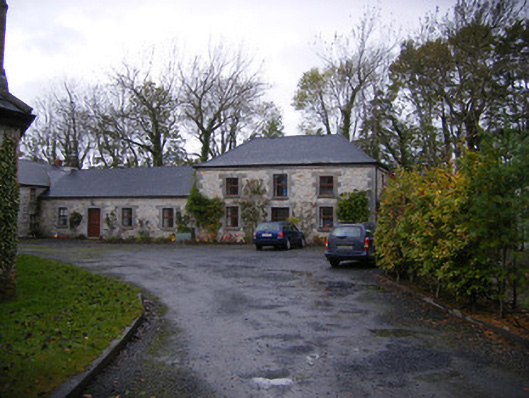 Caherass Houseoutbuilding · 451 yd
 Fanningstown Castle (in ruins)Castle, tower house · 1144 yd
 Partially hachuredFairy fort / earthen ringfort · 1429 yd
 Site of CastleCastle, unclassified · 1.1 mi
 Dysert AenghusaHeritage attraction · 1.2 mi
 Biodiversity in the Maigue CatchmentVisitor information · 1.4 mi
 European ashEuropean ash · 2.2 mi
 GinkgoGinkgo · 2.4 mi
 Kinnoor WellSpring · 2.8 mi
 Monasteranenagh AbbeyHeritage attraction · 3.4 mi