What is recorded here
In rough marshy pasture, on S-facing slope falling directly to N bank of River Feale; enclosure bordered on E side by stream flowing towards river. Most of site is covered by dense overgrowth of briars and bracken but curving earthen bank (int. H 0.45m; ext. H 0.7m) can be traced ENE->SE where it becomes scarped edge SE->SW. Loose stones lie scattered along external bank face at ENE. Bank is denuded by cattle accessing stream. There appears to be a gentle rise upwards from enclosing element towards centre. No evidence for burial plots or markers evident though most of interior impenetrable. Depicted on 1841 OS 6-inch map as an oval enclosure (c. 40m E-W; c. 25m N-S) but enclosing element depicted only E->SW on 1924 OS 6-inch map.
Compiled by: Denis Power
Date of upload: 26 August 2011
A local fairy fort (ringfort/rath); wider significance not recorded.
The monument record does not grant public access. Check the route and ask the landowner before entering private land.
- What survives
- Recorded monument
Places near here
 Childrens Burial GroundChildren's burial ground · 410 yd
 Fulacht fia in Caher (connell)Fulacht fia · 847 yd
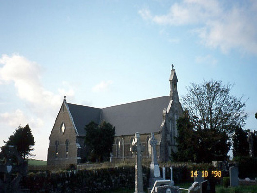 Saint Carthage's Catholic Churchchurch/chapel · 1.6 mi
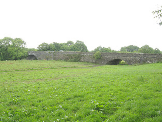 Wellesley Bridgebridge · 2.2 mi
 Three CountiesPicnic place · 3.7 mi
 Purt CastleCastle · 4.8 mi
 Barnagh HillMountain / peak · 5.4 mi
 KnockateeMountain / peak · 6.1 mi
 TobereenalaffinaSpring · 6.8 mi
 Kilmurry CastleCastle · 8.1 mi
 Crag CaveCave · 9.0 mi
 John B. KeaneMemorial · 11 mi
Other information
Photo: Credit not shown in the picture search · Rights wording not checked; contact us if this picture should be removed