
What is recorded here
On a hillock in grassland. Marked on the 1838 edition of the OS map as a rectangular enclosure (c. 27m NW-SE; c. 25m NE-SW). Due to extensive quarrying, no visible surface trace survives.
Compiled by: Galway Archaeological Survey, UCG
Date of upload: 19 July 2019
The monument record does not grant public access. Check the route and ask the landowner before entering private land.
- What survives
- Recorded monument
Places near here
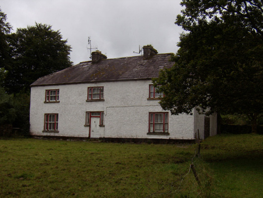 Abbeyville Househouse · 205 yd
 Enclosure in Burroge (loughrea By.)Enclosure · 228 yd
 Old R.C. ChapelChapel · 584 yd
 ToberemonHoly well · 868 yd
 Ash IslandIslet · 1.3 mi
 Island McCooIslet · 1.4 mi
 Site of CastleCastle, unclassified · 1.5 mi
 Long PointHeadland · 1.7 mi
 CastleCastle, tower house · 2.6 mi
 Scalpeen RockNamed rock · 3.2 mi
 KnockapollboyMountain / peak · 4.9 mi
 Dartfield Horse MuseumHeritage attraction · 6.0 mi
Other information
Photo: Credit not shown in the picture search · Rights wording not checked; contact us if this picture should be removed