What is recorded here
On flat terrain in pasture. Monument depicted on 1st (1840) ed. OS 6-inch map and on the 2nd (19004-05) ed. as a circular enclosure (diam. c. 32m N-S; c. 31m E-W) with a field boundary running E-W from the S quadrant and trees in the interior. The enclosure has been levelled with no visible trace above ground. It was inspected in 1969 and described as follows, the 'southern edge has been removed since OS 6-inch was made as new house and yard have been built immediately adjoining. Old tree-stumps. About 45 paces diameter (hard to pace, due to scrub). Sides very vertical and modern in profile (6'high [1.8m]). Slight fosse' (OPW Correspondence Files). It was considered to be probably a tree-ring and as such was not excluded from Land Project Works.
Compiled by: Jean Farrelly
Date of upload: 26 August 2011
This remains an important historical record, but the official description says the monument is no longer visible or has been destroyed. The monument record does not grant public access. Check the route and ask the landowner before entering private land.
- What survives
- No visible remains or recorded as destroyed
Places near here
 Enclosure in BurgeslandEnclosure · 486 yd
 European long distance path E8 - part IrelandWalking route · 837 yd
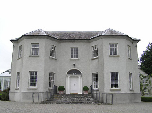 Kenilworth Housecountry house · 940 yd
 St. Bridgets WellHoly well · 1270 yd
 Suirmount Housefarm house · 1297 yd
 IndicatedBawn · 1.2 mi
 Site of Clocully CastleCastle, unclassified · 1.6 mi
 Hybrid Black PoplarHybrid Black Poplar · 2.7 mi
 Deodar CedarDeodar Cedar · 3.0 mi
 Woodcock HillMountain / peak · 4.4 mi
 KnockmealMountain / peak · 4.8 mi
 Siege of Clonmelsiege · 5.9 mi