
What is recorded here
On a W-facing slope, in undulating terrain, under tillage. Enclosure identified as a circular cropmark on aerial photograph (ASIAP (28) 35-37). Potato crop in field at time of visit. The enclosure is not visible above ground level.
Compiled by: Jean Farrelly
Date of upload: 04 December 2013
The monument record does not grant public access. Check the route and ask the landowner before entering private land.
- What survives
- Recorded monument
Places near here
 St. Bridgets WellHoly well · 871 yd
 European long distance path E8 - part IrelandWalking route · 1298 yd
 Corrabella Househouse · 1371 yd
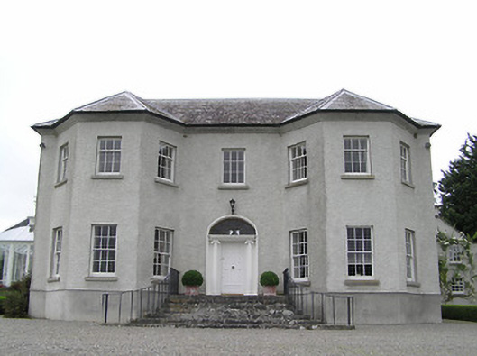 Kenilworth Housecountry house · 1419 yd
 Font in MoloughabbeyFont · 1585 yd
 IndicatedBawn · 1.0 mi
 Site of Clocully CastleCastle, unclassified · 1.3 mi
 Hybrid Black PoplarHybrid Black Poplar · 2.9 mi
 Deodar CedarDeodar Cedar · 3.2 mi
 Woodcock HillMountain / peak · 4.2 mi
 Roche's HillMountain / peak · 4.6 mi
 Siege of Clonmelsiege · 6.2 mi
Other information
Photo: Credit not shown in the picture search · Rights wording not checked; contact us if this picture should be removed