
What is recorded here
In rough pastureland. A possible circular enclosure (diam. c. 22m) is visible on Google Earth aerial imagery dated March 2014. Identified and reported by Jean-Charles Caillère.
The following image has been uploaded: CL057-176----_01.jpg Google Earth image (11 May 2014)
Compiled by: Olive Alcock
Date of upload: 4 July 2022
A local fairy fort (ringfort/rath); wider significance not recorded.
The monument record does not grant public access. Check the route and ask the landowner before entering private land.
- What survives
- Recorded monument
Places near here
 IndicatedFairy fort / ringfort · 238 yd
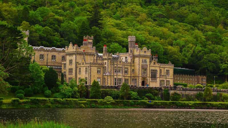 Enclosure in KilcurrivardEnclosure · 1275 yd
 Cregboyne FortBawn · 1.2 mi
 Site of CastleCastle, unclassified · 1.8 mi
 St. Cathaldus Church (in ruins)Church · 1.9 mi
 Church in AucloggeenChurch · 2.0 mi
 Cregg Castle DemesneForest · 3.0 mi
 Kilcoona Round TowerHeritage attraction · 3.7 mi
 KnockmaaWood · 3.8 mi
 Ballinduff BayBay · 4.7 mi
 Oileán an AoilIsland · 6.6 mi
 Oileán an BhreathnaighIslet · 6.8 mi
Other information
Photo: Credit not shown in the picture search · Rights wording not checked; contact us if this picture should be removed