What is recorded here
In reclaimed pasture, ring-barrow (LI024-124----) 50m to W. Depicted as a small circular-shaped enclosure on the 1840 ed. OS 6-inch map. Not indicated on subsequent OS maps. Faint cropmark of levelled enclosure barely visible on OSi orthophoto taken 2005-12.
Compiled by: Caimin O'Brien, Alison McQueen and Vera Rahilly
Date of upload: 23 July 2020
The monument record does not grant public access. Check the route and ask the landowner before entering private land.
- What survives
- Recorded monument
Places near here
 Enclosure in LinfieldEnclosure · 868 yd
 Church in LinfieldChurch · 901 yd
 Enclosure in Garrane MoreEnclosure · 909 yd
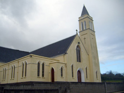 Catholic Church of Saint John the Baptistchurch/chapel · 1118 yd
 (Site of) Nicker CastleCastle, unclassified · 1139 yd
 KnockseefinMountain / peak · 1271 yd
 Kilduff Castle (in ruins)Castle, tower house · 1.2 mi
 ToberagaddySpring · 1.4 mi
 St. Patrick's WellSpring · 3.5 mi
 Kilteely HillMountain / peak · 4.0 mi
 Graveyard in AbingtonGraveyard · 5.0 mi
 Flat cemetery in Knockainy WestFlat cemetery · 7.9 mi