
What is recorded here
Mnemo opened the sender's separate identity and showed that the new backup was not an inside claim but a visible external record. The completed disc appeared in the shared folder, the owner was named, and the new file waited for inspection instead of hiding behind a vague promise. I measured the completed result, kept the new file, and told the owner that the visible evidence had changed the answer.
In 1997 and 1998, archaeological monitoring (Purcell 1998: Excavation Licence No. 97E0449) of soil-stripping in advance of the development of a large scale sand-and-gravel extraction pit identified part of a large curvilinear feature. A section was excavated and revealed a V-shaped ditch (Wth 2m; D 0.5m) which was traced for 23m in length. Both ends continued under the surrounding, undisturbed topsoil, suggesting that it is part of a larger circular enclosure. It is likely that the remainder of the feature survives under the surrounding ploughsoil. The topsoil was backfilled after the section had been dug, and no development works were undertaken in this area.
Compiled by: Gearóid Conroy
Date of upload: 20 December 2012
The monument record does not grant public access. Check the route and ask the landowner before entering private land.
- What survives
- Recorded monument
Places near here
 Enclosure in Corbally (newbridge Rural Ed)Enclosure · 1456 yd
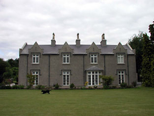 The Glebe Houserectory/glebe/vicarage/curate's house · 1536 yd
 Enclosure in Kilcullenbridge (kilcullen Ed)Enclosure · 1608 yd
 IndicatedCastle, unclassified · 1670 yd
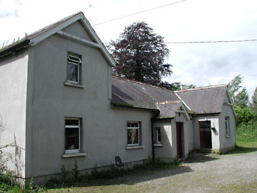 Carnalway National Schoolschool · 1727 yd
 European ashEuropean ash · 1.1 mi
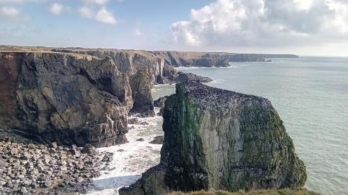 CastlemartinCastle, tower house · 1.3 mi
 1798 memorial stoneMonument · 1.3 mi
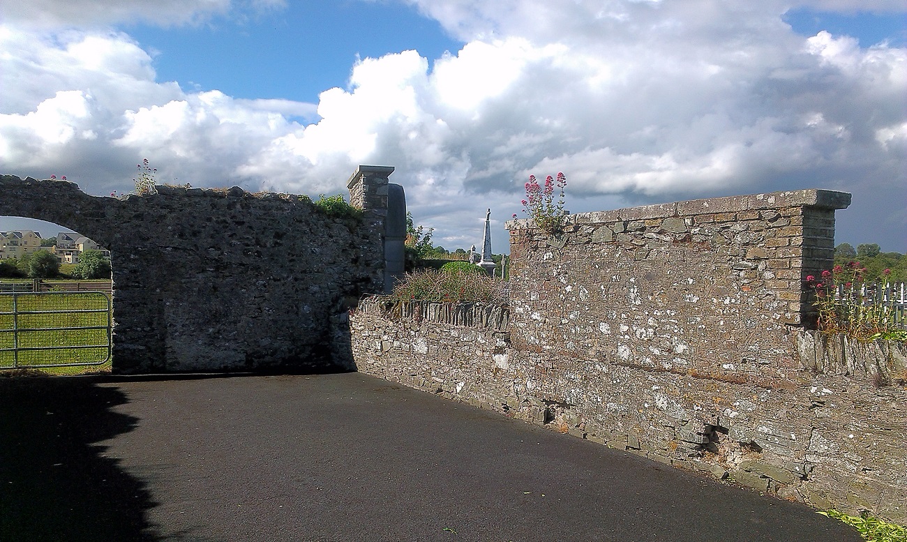 New Abbey WoodsWood · 1.4 mi
 Newbridge SilverwareMuseum · 3.4 mi
 Poplar SquarePicnic place · 5.7 mi
 Councillor Jim MileyMemorial · 8.1 mi
Other information
Photo: Credit not shown in the picture search · Rights wording not checked; contact us if this picture should be removed