
What is recorded here
Visible on a 1967 aerial photograph (CUCAP ASU 93) as the well-defined cropmark of a fosse enclosing a circular area (est. diam. c. 25m), with a possible entrance gap at E. On a gentle S-slope in meadow. No visible surface trace. A similar, slightly smaller site (KD028-027----) lies c. 60m to the S.
Compiled by: Gearóid Conroy
Date of upload: 12 February 2013
The monument record does not grant public access. Check the route and ask the landowner before entering private land.
- What survives
- Recorded monument
Places near here
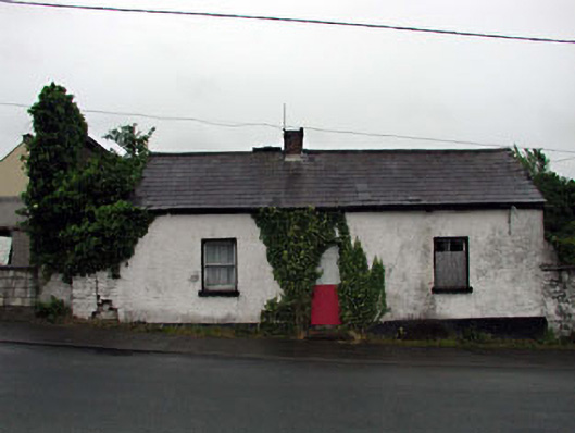 Hillside Cottagehouse · 416 yd
 Liffey View Househouse · 545 yd
 1798 memorial stoneMonument · 731 yd
 The MagicianMonument · 742 yd
 The SpoutMonument · 786 yd
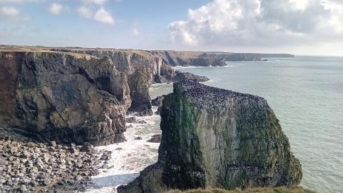 CastlemartinCastle, tower house · 805 yd
 IndicatedCastle, unclassified · 1387 yd
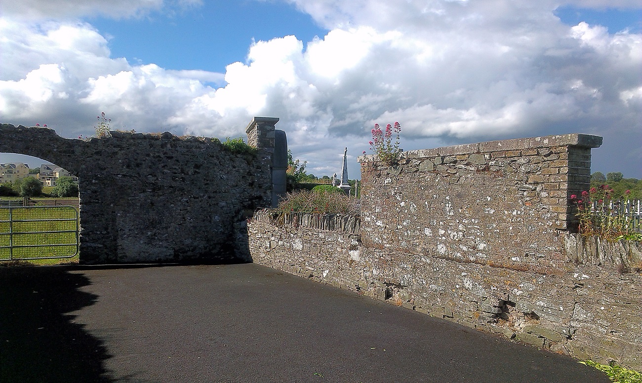 New Abbey WoodsWood · 1480 yd
 Coillte ForestForest · 1.1 mi
 Newbridge SilverwareMuseum · 3.5 mi
 Burial ground in CrehelpBurial ground · 6.5 mi
 Councillor Jim MileyMemorial · 8.8 mi
Other information
Photo: Credit not shown in the picture search · Rights wording not checked; contact us if this picture should be removed