What is recorded here
Located west of enclosure (DU007-077----) within a large arable field known as the Stang, close to the townland boundary between Brownstown and Roscall with extensive views south to the Dublin/Wicklow mountains, cropmarks indicate the presence of subsurface remains of a circular enclosure (diam. c. 45m). Visible on Google maps imagery (June 2018), other cropmarks to the east indicate a series of enclosures and possible field system.
See attached Google Earth orthoimage taken 24/06/2018
Compiled by: Christine Baker
Date of upload: 8 November 2021
The monument record does not grant public access. Check the route and ask the landowner before entering private land.
- What survives
- Recorded monument
Places near here
 Enclosure in Brownstown (balrothery West By.)Enclosure · 92 yd
 Fulacht fia in Brownstown (balrothery West By.)Fulacht fia · 333 yd
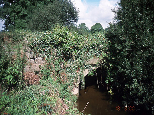 bridgebridge · 813 yd
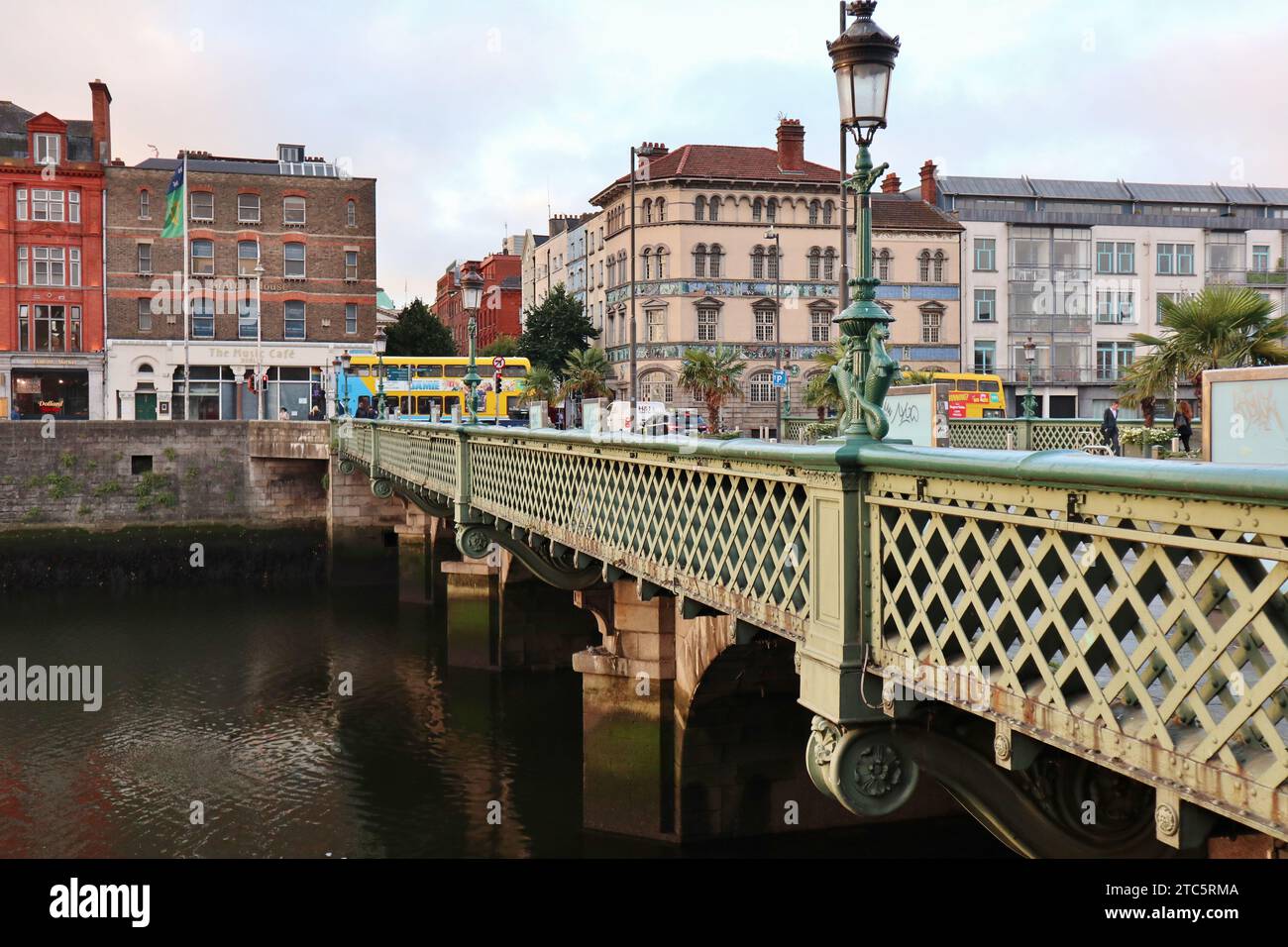 Bridge in GracedieuBridge · 1009 yd
 Castle (Site of)Castle, tower house · 1.3 mi
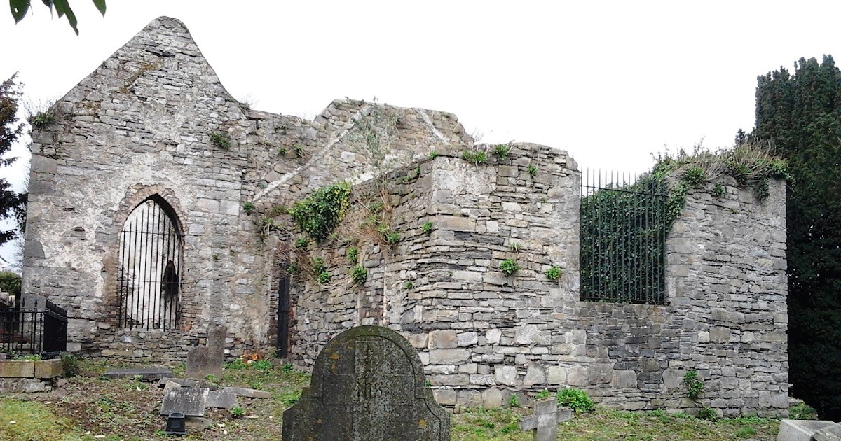 CastleCastle, tower house · 1.8 mi
 Roseville Business ParkVisitor information · 1.9 mi
 Shannon Valley CentreVisitor information · 1.9 mi
 St Cronans WellSpring · 2.7 mi
 Graveyard in KillosseryGraveyard · 3.0 mi
 The JackoWood · 3.2 mi
 Kim Archibold MemorialMemorial · 3.2 mi