What is recorded here
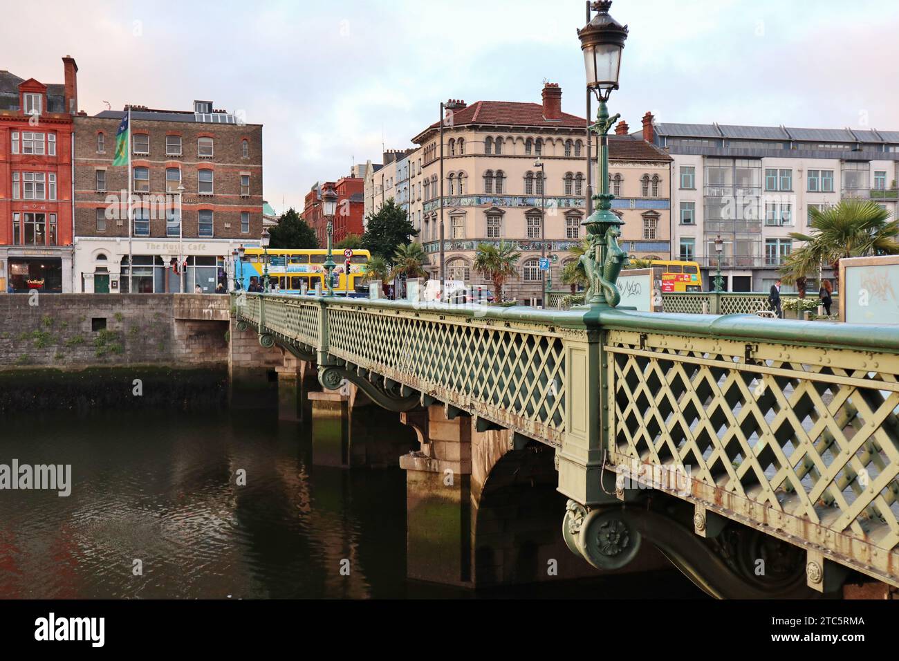
Bridge located at south-west corner of field immediately south of Motte field and south-west of nunnery (DU007-015001-). The single arch has a span of c.5m and consists of random rubble and well-squared limestone blocks. The underside of the arch has is wattle-marked mortar. Traditionally part of the 'nun's road' from the nunnery to Swords. Similar in make-up to the bridge further east which was dated on stylistic grounds to the 14th century (Simington & O'Keefe 1991, 171-172). Completely overgrown and fenced off.
Compiled by: Geraldine Stout
Updated by: Christine Baker
Date of upload: 16 April 2015
The monument record does not grant public access. Check the route and ask the landowner before entering private land.
- What survives
- Recorded monument
Places near here
 MoatMound · 119 yd
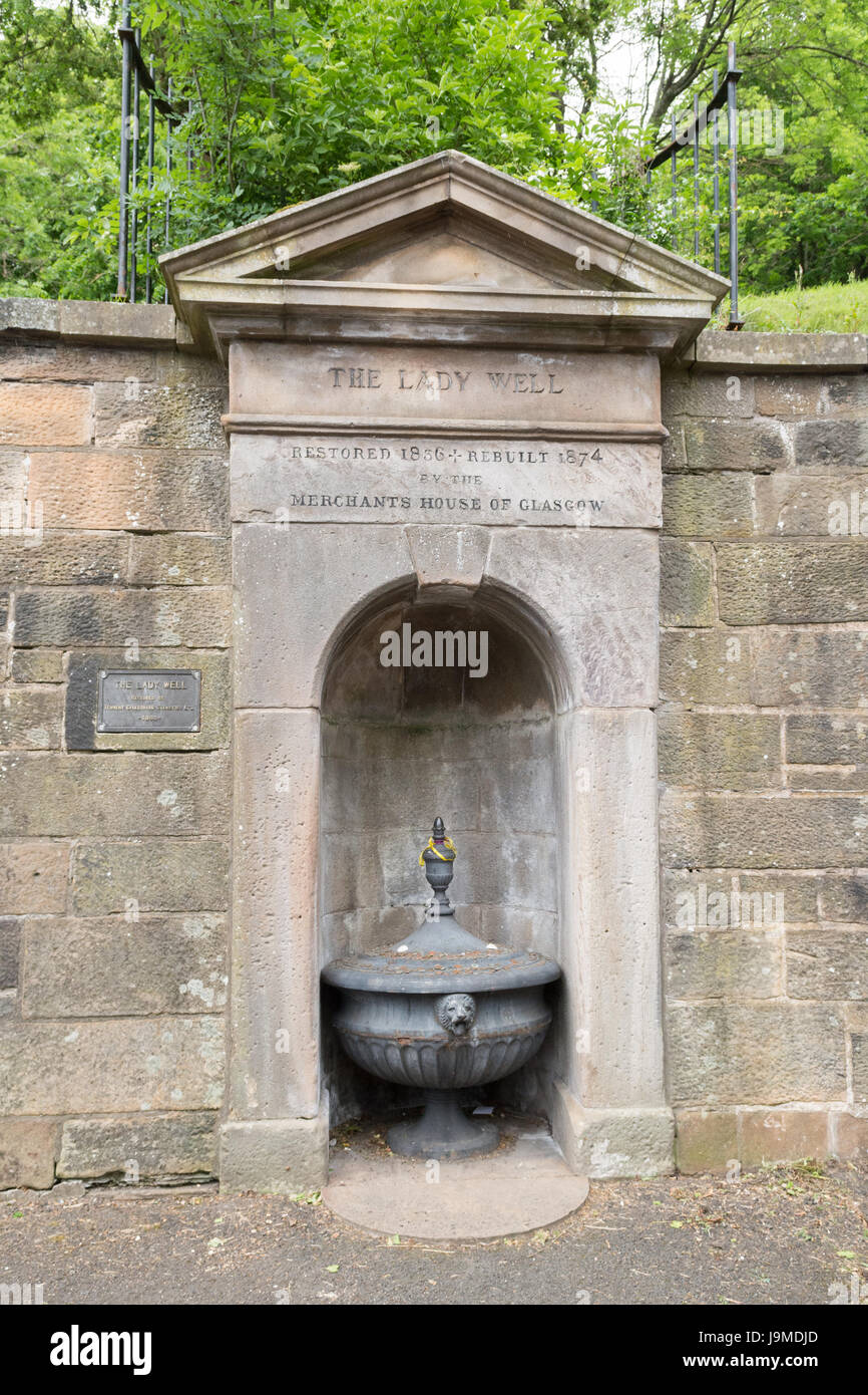 Lady WellHoly well · 269 yd
 Nunnery (in ruins)Religious house, Augustinian, of Arrouaise nuns · 330 yd
 Gracedieu NunneryRuins · 344 yd
 Castle (Site of)Castle, tower house · 1.4 mi
 Roseville Business ParkVisitor information · 1.7 mi
 Redleaf Business ParkVisitor information · 1.8 mi
 Lanestown Castle in ruinsCastle, tower house · 2.6 mi
 St Cronans WellSpring · 3.2 mi
 Graveyard in KillosseryGraveyard · 3.5 mi
 The JackoWood · 3.6 mi
 Kim Archibold MemorialMemorial · 3.7 mi
Other information
Photo: Credit not shown in the picture search · Rights wording not checked; contact us if this picture should be removed