What is recorded here
Situated on poorly drained floodplains of the Awbeg stream which runs past the monument immediately to S. Area depicted as wet land, annotated ‘Liable to Floods’ on the 1840 ed. OS 6-inch map. Outline of circular shaped area (approx. diam. 40m) defined by a scarp with ditch visible on Google Earth orthophoto taken 16/03/2016. Possible ring-barrow in N quadrant visible on Google Earth orthoimage.
See attached Google Earth orthophoto taken 16/03/2016
Compiled by: Caimin O’Brien
Date of upload: 29 May 2020
The monument record does not grant public access. Check the route and ask the landowner before entering private land.
- What survives
- Recorded monument
Places near here
 BarrowBarrow, ring-barrow · 153 yd
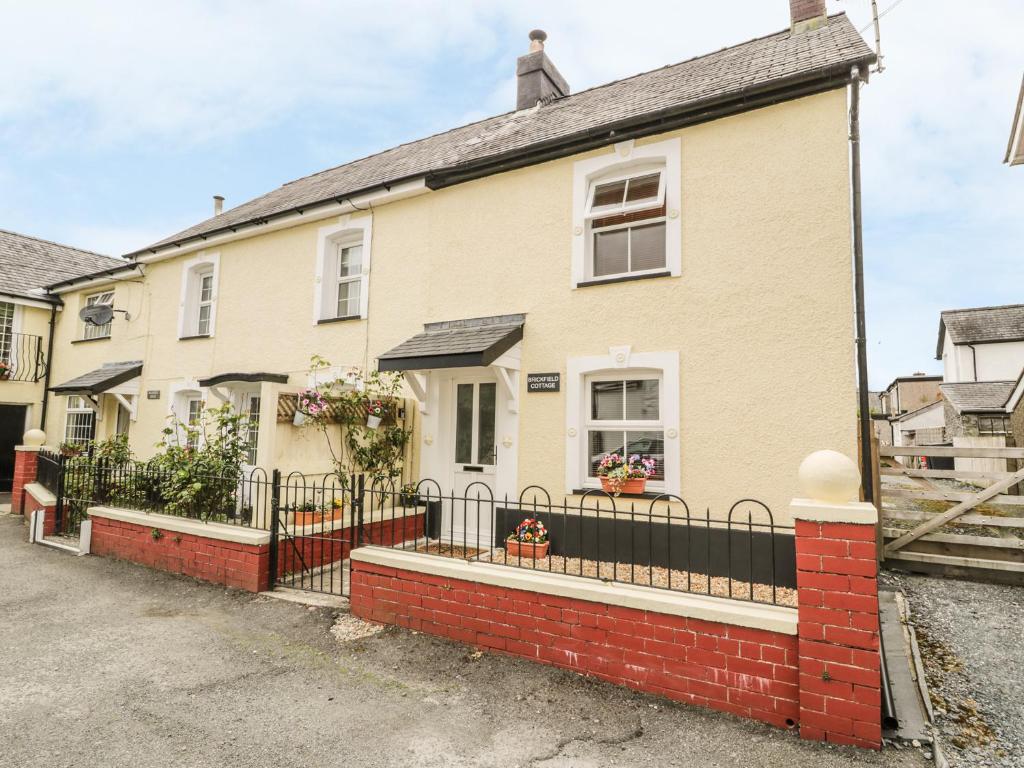 Enclosure in BrickfieldEnclosure · 218 yd
 Castle (in ruins)Castle, unclassified · 950 yd
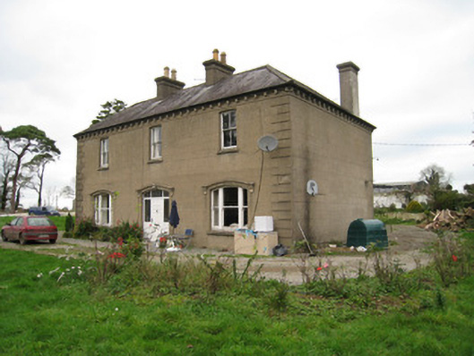 Ballyvoodane Househouse · 1529 yd
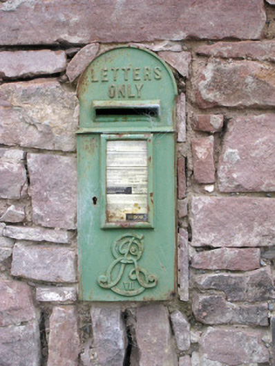 post boxpost box · 1.0 mi
 Ballymacshaneboy Castle (in ruins)Castle, unclassified · 1.0 mi
 Caher HillMountain / peak · 1.3 mi
 Lady's WellSpring · 1.9 mi
 ToberSpring · 1.9 mi
 BallinaboolaVisitor information · 2.5 mi
 Carron MountainMountain / peak · 2.5 mi
 Holy Cross CemeteryGraveyard · 4.0 mi