
What is recorded here
From the National Monuments Service (Archaeological Survey of Ireland) record GA084-030
Places near here
Photo credits
- Maker not stated on source page, www.pinterest.com
- Maker not stated on source page, www.dreamstime.com
- Maker not stated on source page, www.wildernessireland.com
- Maker not stated on source page, monumentalireland.ie
- National Inventory of Architectural Heritage
- Maker not stated on source page, commons.wikimedia.org
- Evan Logan / INPHO, via HoganStand, Source publisher
 Fairy fort / stone ringfort in RahardFairy fort / stone ringfort · 384 yd
Explorer Tom Fairy fort / stone ringfort in Rahard is a collapsed drystone wall that has been overlain by a field boundary. It’s…
 New Cemetery AthenryCemetery · 1024 yd
Explorer Tom New Cemetery Athenry is locked in a bitter feud between two families over who gets the best view of the river. They…
 CemeteryBurial ground · 1054 yd
Explorer Tom Cemetery in Boyhill has strict rules: no running, no shouting, and definitely no dogs. It’s just a name on a map right…
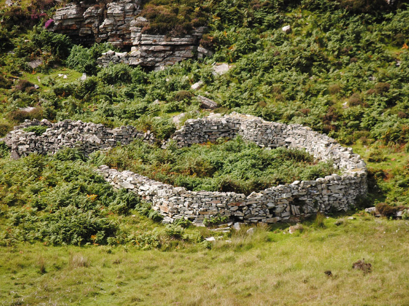 Fairy fort / earthen ringfort in Farranablake EastFairy fort / earthen ringfort · 1116 yd
Explorer Tom Fairy fort / earthen ringfort in Farranablake East is hiding a barn and a water tank inside its walls. It thinks that…
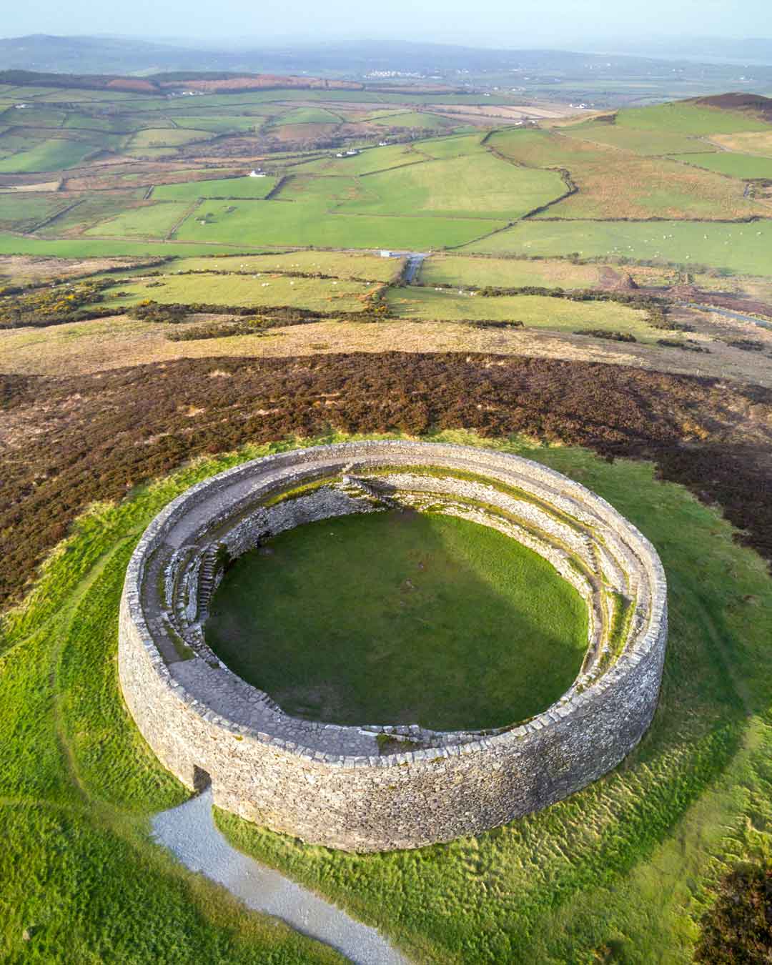 Fairy fort / stone ringfort in Farranablake EastFairy fort / stone ringfort · 1148 yd
Explorer Tom Fairy fort / stone ringfort in Farranablake East claims to be famous but has no proof. It’s probably just a rock circle…
Fairy fort / earthen ringfort in Farranablake East,gortnahownFairy fort / earthen ringfort · 1351 ydExplorer Tom Fairy fort / earthen ringfort in Farranablake East, Gortnahown is sitting on a slope looking smug. A field wall covers…
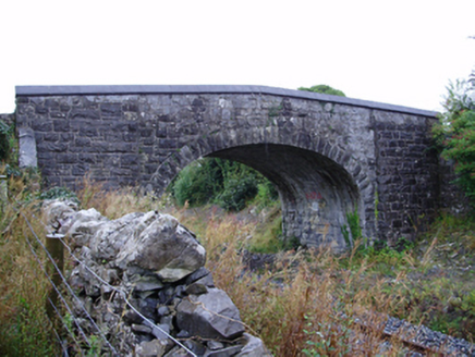 Farranablake BridgeBridge · 1367 yd
Explorer Tom Farranablake Bridge in Turloughalanger is refusing to collapse because it’s too proud to admit it’s tired. The…
 Memorial stone (present location) in Baunmore (athenry By.)Memorial stone (present location) · 1370 yd
Explorer Tom Memorial stone in Baunmore is stuck in a wall with guys doing arm-wrestling poses on it. One guy looks like he’s about…
 RockmoreHouse · 1660 yd
Explorer Tom Rockmore in Farranablake West is showing off its pilasters like it's a Roman emperor on holiday. The builder definitely…
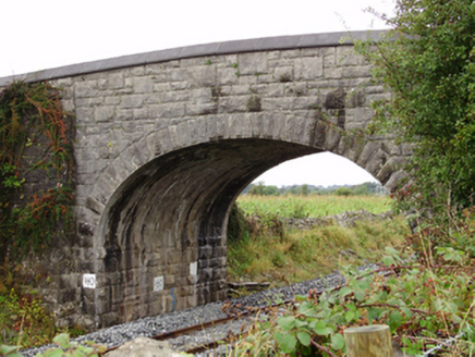 Rockfield BridgeBridge · 1.1 mi
Explorer Tom Rockfield Bridge in Clamperpark is a stone giant that refuses to admit it's tired. It would tell its younger self to…
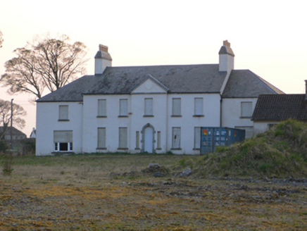 Athenry HouseCountry house · 1.1 mi
Explorer Tom Athenry House is the biggest bully in town, sitting right on top of the old medieval walls and looking down its nose at…
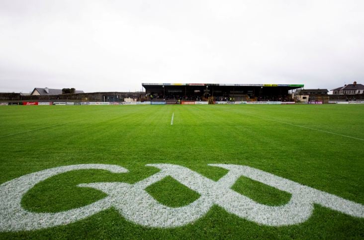 Kenny ParkGAA ground · 1.1 mi
Explorer Tom Kenny Park gives Athenry hurling a stage where a sliotar can disappear into the sky before anyone has finished shouting…
More archaeology and monuments in County Galway · All of County Galway

What do you know about this place?Tap to add a comment or ask a question