What is recorded here
Situated on reclaimed grassland immediately S of a stream marking townland boundary with Teermore. Enclosure (LI048-031----) 70m to W. Outline of roughly circular shaped area (approx. int. diam. 28m; ext. diam. 40m) defined by a shallow ditch visible on Digital Globe orthoimage taken 2011-13. Google Earth aerial orthophoto taken 04/04/2013 shows clearly curving ditch forming W side of enclosure with drainage ditch running S from S side of earthwork. This enclosure may be related to post-1700 land reclamation carried out in the field or may be an earlier enclosure modified by the land reclamation earthworks. Several drainage features/ditches clearly visible on the Google Earth aerial image.
See attached Google Earth orthophoto taken 04/04/2013
Compiled by: Caimin O’Brien
Date of upload: 29 May 2020
The monument record does not grant public access. Check the route and ask the landowner before entering private land.
- What survives
- Recorded monument
Places near here
 Teermore Househouse · 751 yd
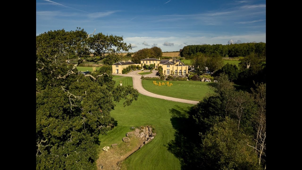 Earthwork in Ballincurra (coshlea By.)Earthwork · 1382 yd
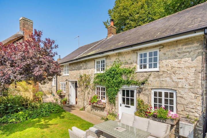 Enclosure in MartinstownEnclosure · 1.0 mi
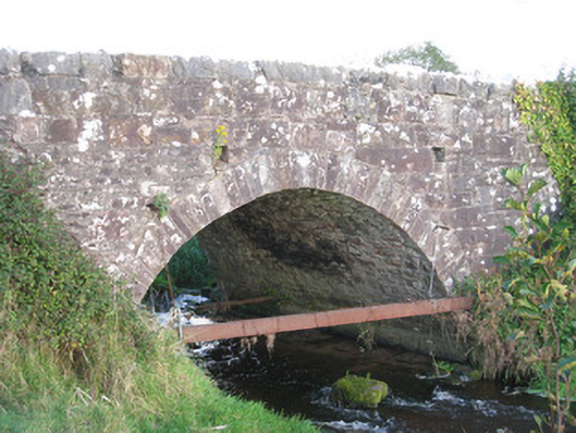 Ballinanima Bridgebridge · 1.0 mi
 Castle (in ruins)Castle, tower house · 1.3 mi
 Ballyhoura tourist informationVisitor information · 2.3 mi
 Ballinvreena LoopVisitor information · 2.4 mi
 Treada Na Ríogh (The Moat), hachuredCastle, motte · 2.4 mi
 Palatine's RockNamed rock · 3.1 mi
 St Bridget's WellSpring · 3.1 mi
 Ballyhoura WayWalking route · 3.4 mi
 Edmund's WellSpring · 3.7 mi