What is recorded here
In pasture, 160m NW of Martinstown Stream. Depicted on the 1840 ed. OSi 6-inch map as a circular shaped area enclosed by a bank. Shown on the 1897 ed. OSi 25-inch as a raised D-shaped platform (diam. c. 28m) defined by a scarp from NW-N-E-S-SW, intersected at W by a post 1700 field boundary running N-S. Faint trace of levelled earthwork visible on Digital Globe orthoimage taken between 2011-13. Possible trace of raised irregular-shaped area (diam. c. 23m) visible on Google Earth orthoimage dated 19/03/2015.
See attached Google Earth orthoimages.
Compiled by: Fiona Rooney
Date of upload: 6 August 2021
The monument record does not grant public access. Check the route and ask the landowner before entering private land.
- What survives
- Recorded monument
Places near here
 Grave YardGraveyard · 1494 yd
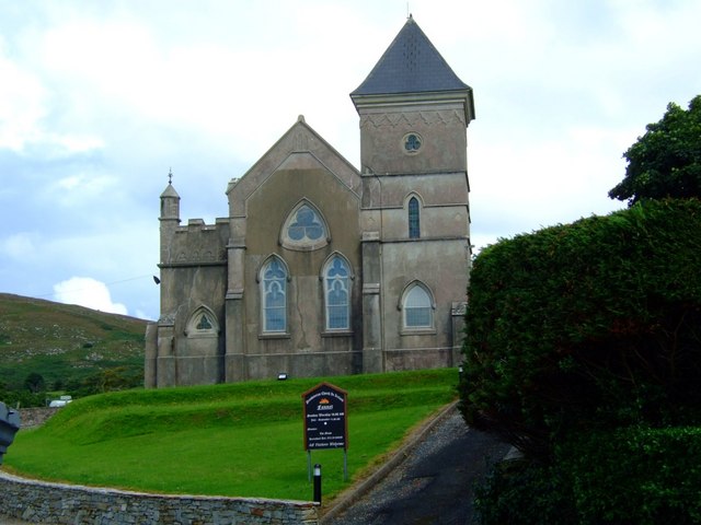 Kilbreedy Church (in ruins)Church · 1505 yd
 Mote, HachuredMound · 1533 yd
 Teermore Househouse · 1.0 mi
 Castle (in ruins)Castle, tower house · 1.5 mi
 Athneasy FortCastle, motte and bailey · 1.7 mi
 Ballinvreena LoopVisitor information · 1.9 mi
 Edmund's WellSpring · 2.8 mi
 Ballyhoura tourist informationVisitor information · 2.9 mi
 Palatine's RockNamed rock · 3.4 mi
 SlievereaghMountain / peak · 3.5 mi
 Ballyhoura WayWalking route · 3.6 mi
Other information
Photo: Credit not shown in the picture search · Rights wording not checked; contact us if this picture should be removed