What is recorded here
In reclaimed pasture 65m E of Ballincurra Stream that marks the townland boundary with Stookeens and immediately S of the townland boundary with Fantstown. Earthwork (LI048-084----) lies 130m to S. Not depicted on the OSi historic 6-inch maps. Identified as an enclosure on oblique aerial photograph (ASIAP) taken 05/01/2003. Visible as an oval-shaped area (dims. C. 16m NESW; 10m NW-SE) defined by a dried-up watercourse on Digital Globe orthoimage taken between 2011-13. No surface remains visible on Google Earth orthoimages taken on 04/01/2021 where the surrounding area is comprised of a meandering dried-up watercourse and drainage ditches. Curving earthwork looks to be the result of paleochannels running through field and does not appear to be the remains of an archaeological earthwork.
See attached Google Earth orthoimages.
Compiled by: Martin Fitzpatrick
Date of upload: 2 September 2021
The monument record does not grant public access. Check the route and ask the landowner before entering private land.
- What survives
- Recorded monument
Places near here
 Teermore Househouse · 642 yd
 Castle (in ruins)Castle, tower house · 916 yd
 BarrowBarrow, ditch barrow · 1026 yd
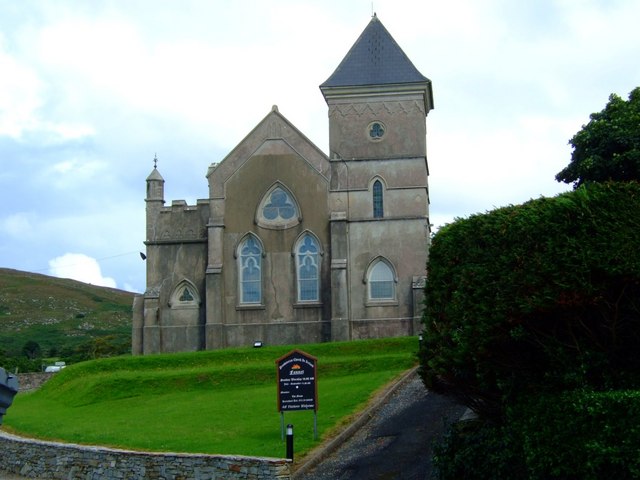 Kilbreedy Church (in ruins)Church · 1095 yd
 Grave YardGraveyard · 1097 yd
 Bulgaden Castle (in ruins)Castle, tower house · 2.0 mi
 St Bridget's WellSpring · 2.8 mi
 Ballinvreena LoopVisitor information · 3.0 mi
 Ballyhoura tourist informationVisitor information · 3.0 mi
 Palatine's RockNamed rock · 3.8 mi
 Edmund's WellSpring · 4.0 mi
 Ballyhoura WayWalking route · 4.2 mi
Other information
Photo: Credit not shown in the picture search · Rights wording not checked; contact us if this picture should be removed