What is recorded here
A rectilinear enclosure (dims. c. 40-50m NNW-SSE and WSW-ENE) identified as a cropmark on aerial photographs (ASIAP (110) 2, 4, 7, 10, 12-13, 22 July 2000) in the corner of a field, with an upstanding field boundary running roughly ENE-WSE across the N side and another running NNW-SSE through the E side. There appear to be two fosses defining the enclosure. On the OS Ortho satellite imagery a cropmark is visible c. 20m N of the ENE-WSW field boundary which appears to be the N side of the enclosure. There is another cropmark, probably an old field boundary, which appears to be associated with this enclosure, possibly running NW from its NE angle for c. 30m before turning SW for c. 150m. Another curvilinear cropmark (KK012-087----) c. 180m to the SE appears to a field boundary.
See attached images:
KK012-086----_01 ASIAP (110) 12, 22 July 2000
KK012-086----_02 OS Ortho satellite imagey, viewed 2 July 2019
Compiled by: Jean Farrelly
Date of upload: 2 July 2019
The monument record does not grant public access. Check the route and ask the landowner before entering private land.
- What survives
- Recorded monument
Places near here
 Ardaneena Church (in ruins)Church · 319 yd
 Belle Vue Househouse · 1124 yd
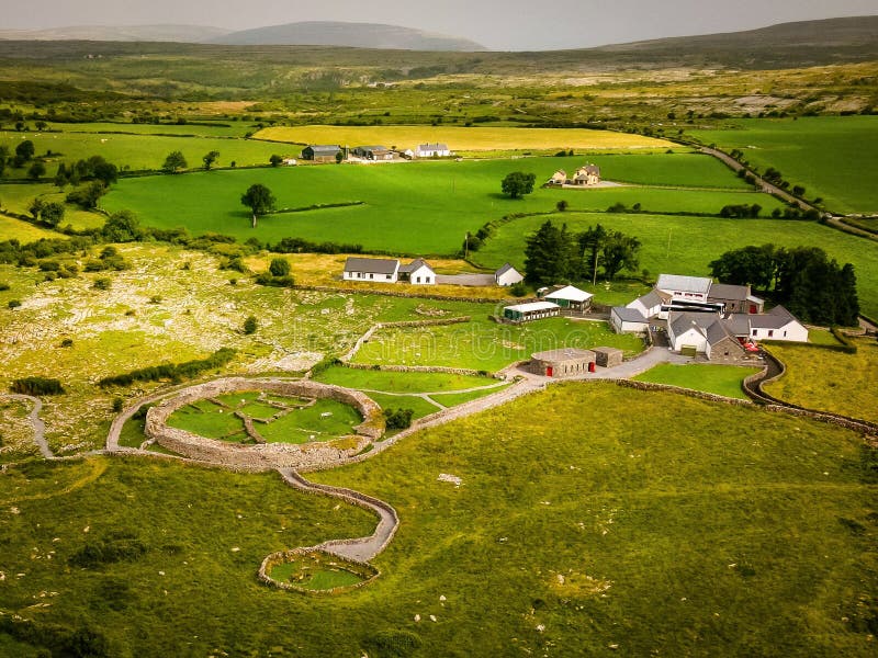 Borrismore Ringfort (Rath)Archaeological place · 1414 yd
 Enclosure in Donaghmore LowerEnclosure · 1549 yd
 Black CastleCastle, hall-house · 1.3 mi
 CastleCastle, tower house · 1.5 mi
 John HelyMemorial · 1.9 mi
 DelaneyMemorial · 2.0 mi
 Clomantagh HillMountain / peak · 2.2 mi
 Kildrinagh WoodForest · 3.1 mi
 Deerpark WoodWood · 4.2 mi
 Derrynaflan TrailHeritage attraction · 9.8 mi