What is recorded here
Borris Little held a circular fort forty-five metres across, large enough to swallow a dozen people and every secret they whispered. It vanished before the 1841 map, leaving only a field fence to mark where its wall once stood. What disappeared may have been a home, a shelter or a boundary drawn by people who never wrote their name anywhere. The land kept the shape long after the hands that made it stopped moving.
Marked on the 1841 edition of the OS 6-inch map; a circular 'fort' (max. diam c. 45m) clipped by a field fence from SW-NW. No visible surface remains.
The above description is derived from the published 'Archaeological Inventory of County Laois' (Dublin Stationery Office, 1995) compiled by P. David Sweetman, Olive Alcock and Bernie Moran. In certain instances the entries have been revised and updated in the light of recent research.
Date of upload: 17 December 2007
The monument record does not grant public access. Check the route and ask the landowner before entering private land.
- What survives
- Recorded monument
Places near here
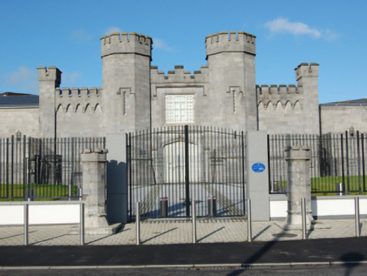 Portlaoise Prisonprison/jail · 782 yd
 Site of ChurchChurch · 818 yd
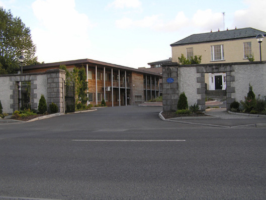 Grattan Housegates/railings/walls · 829 yd
 Enclosure in Ballyroan (maryborough East By.)Enclosure · 860 yd
 Burial Ridge of MaryboroughMemorial · 917 yd
 ConventCastle, tower house · 1002 yd
 Old Barrack, Mill LandCastle, unclassified · 1069 yd
 Portlaoise CourthouseMemorial · 1233 yd
 Rock of DunamaseCastle · 3.5 mi
 Rock of Dunamase InformationVisitor information · 3.5 mi
 Rock of CashelMountain / peak · 4.4 mi
 Giant SequoiaGiant Sequoia · 5.9 mi