What is recorded here
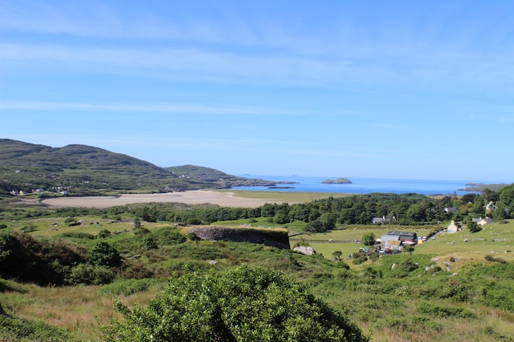
Depicted on the 1st ed. (1841) OS 6-inch map as an oval area (c. 30m N-S; 25m E-W) enclosed by a bank and named 'Lisgortarughel' in gothic script. Named 'Lisgortarughel' (site of) on later OS map editions. In pasture, no visible surface trace evident.
Compiled by: Matt Kelleher
Date of upload: 19 December 2013
The monument record does not grant public access. Check the route and ask the landowner before entering private land.
- What survives
- Recorded monument
Places near here
 LosgortarughelArchaeological place · 13 yd
 PurtaheenHoly well · 440 yd
 Saint Mary's Catholic Churchchurch/chapel · 647 yd
 Our Lady's Holy WellSpring · 1437 yd
 Ballyheige Castlecountry house · 1.3 mi
 Castle (in ruins)Castle, unclassified · 1.8 mi
 CastleCastle, unclassified · 1.9 mi
 Maulin MountainMountain / peak · 2.9 mi
 Inshaboy PointHeadland · 3.3 mi
 Triskbeg MountainMountain / peak · 3.5 mi
 Pierce's IslandIslet · 4.5 mi
 Banna StrandBeach / strand · 4.8 mi