What is recorded here
Reported to the Archaeological Survey of Ireland as the low remains of a curving bank. Sub-circular area (dims. 36m N-S; 40m E-W) defined by remains of bank (wth at top 2m; total wth 5.5m; int. H 0.6m; ext. H 0.35m) of earth and stone SW->WNW and traces of levelled bank WNW->N->ESE. Truncated by linear field boundary (long-axis E-W) across SE-sector. Fosse (basal wth 3.5m; total wth 5.9m; Dth 0.4m) SW->N->NNE. Interior slopes down to E and monument is incorporated into field as pasture. Best preserved portion of bank is evident on modern aerial photography (OSi 2010). No visible surface trace of monument in pasture field adjacent to SE.
Compiled by: Alison McQueen and Vera Rahilly
Date of upload: 10 September 2014
The monument record does not grant public access. Check the route and ask the landowner before entering private land.
- What survives
- Recorded monument
Places near here
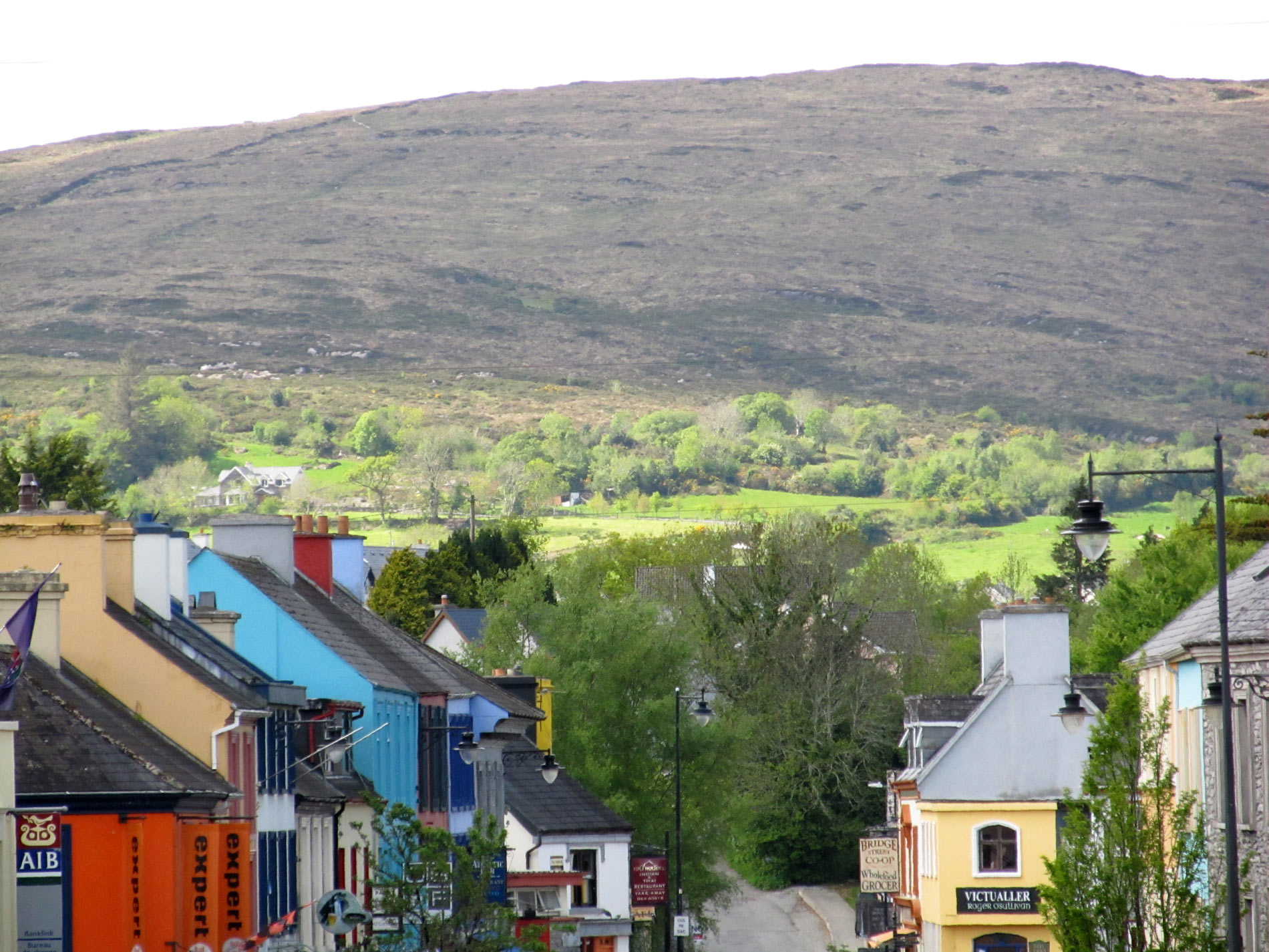 ToberreendoneyHoly well · 741 yd
 Enclosure in Shrone (magunihy By.)Enclosure · 1183 yd
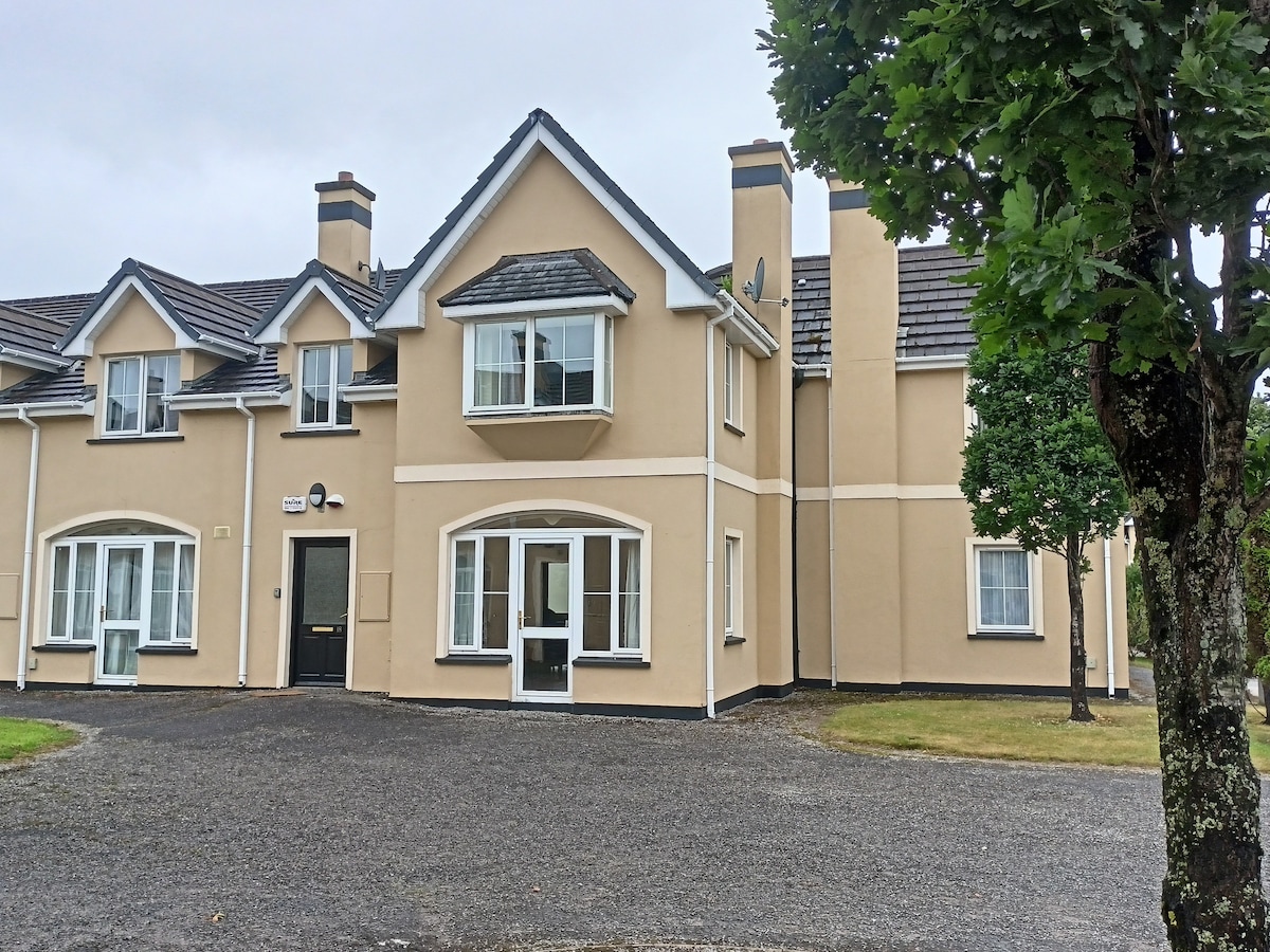 Batterfield HouseRuins · 1557 yd
 Knocknamucklagh Ho.Country house · 1728 yd
 Fieries CastleCastle · 1.4 mi
 CastleCastle, motte · 1.7 mi
 The Kerry Creamery ExperienceHeritage attraction · 3.4 mi
 Aghadoe Early Medieval Ecclesiastical SiteHeritage attraction · 5.0 mi
 Ballygamboon Forest Recreation AreaWood · 5.3 mi
 Famine MemorialMemorial · 6.4 mi
 Circular WalkWalking route · 6.5 mi
 Rabbit or Brown IslandIslet · 6.6 mi