
What is recorded here
This potential feature was reported by Michael Connolly, County Archaeologist, Kerry County Council. It was identified by him during the course of an assessment of a 40 square mile area for the purpose of choosing a road route in 2000 to the north of Killarney. Reported to the Archaeological Survey of Ireland as the low remains of a small enclosure. A low rise is located within this vicinity, adjacent to the eastern field boundary. The area is densely overgrown and there are some land drains making it difficult to conclude if the low rise is potentially archaeological or naturally formed. In rough, poorly drained rushy pasture. Tall rushes and ferns with occasional clumps of dense briars, all to shoulder height. Evidence of drainage activities in field.
The monument record does not grant public access. Check the route and ask the landowner before entering private land.
- What survives
- Recorded monument
Places near here
 LiscappulFairy fort / earthen ringfort · 633 yd
 Knocknamucklagh Ho.Country house · 1236 yd
 LisparkatoberArchaeological place · 1556 yd
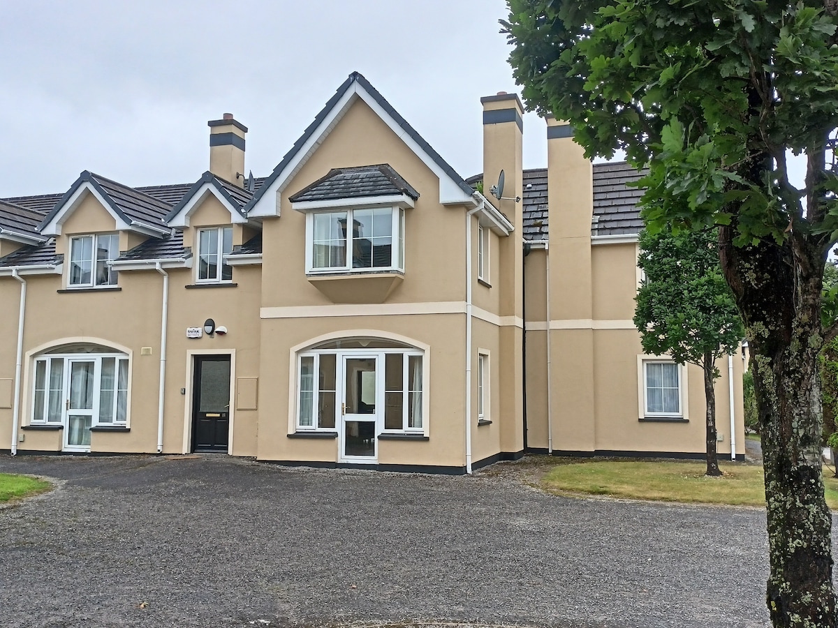 Batterfield HouseRuins · 1.2 mi
 Fieries CastleCastle · 1.6 mi
 Cloonmealane CastleCastle · 2.5 mi
 The Kerry Creamery ExperienceHeritage attraction · 2.9 mi
 Ballygamboon Forest Recreation AreaWood · 5.0 mi
 Aghadoe Early Medieval Ecclesiastical SiteHeritage attraction · 5.3 mi
 KnockmoyleMountain / peak · 6.4 mi
 Rabbit or Brown IslandIslet · 6.7 mi
 Famine MemorialMemorial · 6.8 mi
Other information
Photo: Credit not shown in the picture search · Rights wording not checked; contact us if this picture should be removed