What is recorded here
On NNE-facing slope of rising ground in upland area overlooking river valley. Good extensive views from NW through E to S. No surface remains visible. Monument identified from aerial photographs (GSI 360/59, 16/04/74) as a circular enclosure.
Compiled by: Jean Farrelly
Date of upload: 26 August 2011
The monument record does not grant public access. Check the route and ask the landowner before entering private land.
- What survives
- Recorded monument
Places near here
 Enclosure in ReafaddaEnclosure · 1087 yd
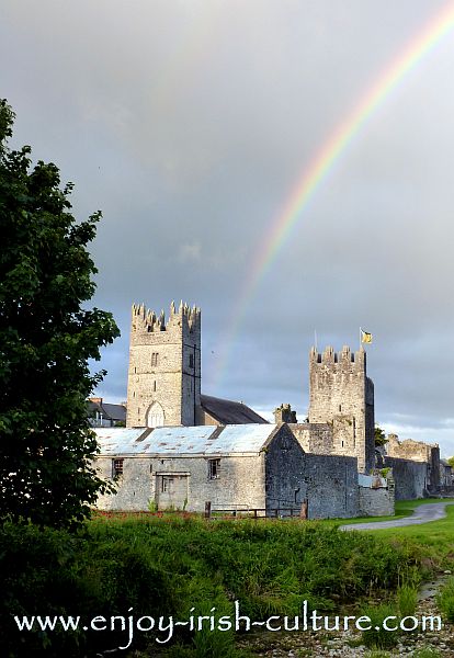 FalleennafinogaMountain / peak · 1511 yd
 Fulacht fia in AughvallydeagFulacht fia · 1.1 mi
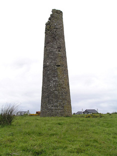 Hollyford Copper Mineschimney · 1.3 mi
 TooreenMountain / peak · 1.4 mi
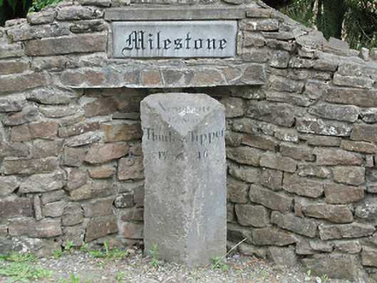 milestone/milepostmilestone/milepost · 1.5 mi
 Site of Cashlauncreen CastleCastle, tower house · 3.5 mi
 Drum WoodWood · 5.1 mi
 Site of CastleCastle, unclassified · 5.9 mi
 Slieve Felim WayWalking route · 9.6 mi
 Killavalla WoodForest · 9.7 mi
 Our Lady Assumed into HeavenMemorial · 11 mi