What is recorded here
Situated in a low-lying landscape and in full view of Bolton House, c. 250m to the W. This feature is not depicted on any OS 6-inch map but is visible on aerial photographs (GSIAP: N 261, 262) but not on later series. It is a slightly raised grass-covered area (diam. 30m N-S; 27.5m E-W) defined by a low scarp (H 0.4-0.5m). There are traces of a fosse (Wth of base 2.2m; ext. D 0.4m) and outer bank (Wth of base 3m; ext. H 0.2m) SW-W. An original entrance is not identified.
The above description is derived from the published 'Archaeological Inventory of County Meath' (Dublin: Stationery Office, 1987). In certain instances the entries have been revised and updated in the light of recent research.
Compiled by: Michael Moore
Date of revision: 26 February 2019
The monument record does not grant public access. Check the route and ask the landowner before entering private land.
- What survives
- Recorded monument
Places near here
 Sylvan Park WoodsForest · 1392 yd
 New Groveoutbuilding · 1404 yd
 Bog WoodsForest · 1.0 mi
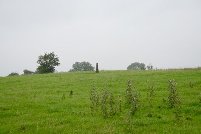 Standing stone in Balnagon UpperStanding stone · 1.0 mi
 IndicatedHoly well · 1.3 mi
 Round TowerCastle, tower house · 1.3 mi
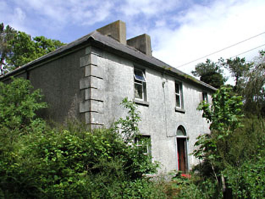 Carrick Viewfarm house · 1.4 mi
 CloncatMountain / peak · 2.2 mi
 Balgree MoteCastle, motte · 3.1 mi
 BoglandMemorial · 3.2 mi
 Drewstown LittleMountain / peak · 3.4 mi
 The Pauper's CemeteryMemorial · 3.7 mi