What is recorded here
Boleyma and Boleybeg hold twin enclosures, one circular and one crescent-shaped, joined like a cup and its handle. They vanished beneath cultivation until a 1971 aerial photograph pulled their shadowy lines from the fields. Whatever lived there stopped leaving marks for people walking past, yet it still answered light from above. The land kept the shape long after memory failed.
On a SW slope in tillage. Visible on a 1971 aerial photograph (CUCAP BGN 18) as the cropmarks of a fosse enclosing a circular area (KD031-005001-) with second fosse enclosing a cresentic-shaped area (est. L c. 80m; av. W c. 25m) attached to the former at NW. No visible surface traces survive. Similar features (KD031-004001- and KD031-004002-) are visible on an aerial photograph in Rathconnellwood townland.
Compiled by: Gearóid Conroy
Date of upload: 01 October 2013
The monument record does not grant public access. Check the route and ask the landowner before entering private land.
- What survives
- Recorded monument
Places near here
 Enclosure in Boley GreatEnclosure · 32 yd
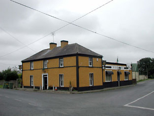 P. Conlanhouse · 652 yd
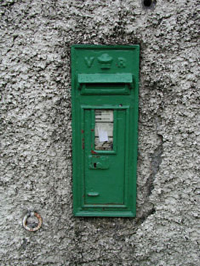 post boxpost box · 664 yd
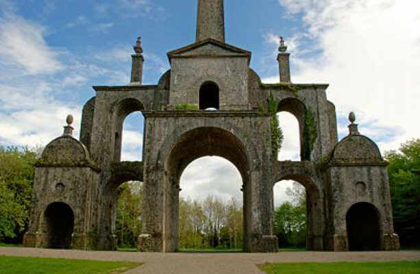 Enclosure in Boley LittleEnclosure · 1062 yd
 CastleCastle, unclassified · 1.8 mi
 Battle of Kilrushbattle · 2.1 mi
 Site of CastleCastle, unclassified · 2.4 mi
 Derryvullagh IslandForest · 3.0 mi
 History of Moat of ArdscullVisitor information · 3.1 mi
 European BeechEuropean Beech · 3.1 mi
 Gorden Bennet Race memorialMemorial · 3.1 mi
 Burtown House and GardensHeritage attraction · 5.2 mi