
What is recorded here
On a SW slope in tillage. Visible on a 1971 aerial photograph (CUCAP BGN 18) as the cropmarks of a fosse enclosing a circular area (est. max. diam. c. 55m) and a second fosse enclosing a cresentic-shaped area (KD031-005002-) attached to the former at NW. No visible surface traces survive. Similar features (KD031-004001- and KD031-004002-) are visible on an aerial photograph in Rathconnellwood townland.
Compiled by: Gearóid Conroy
Date of upload: 01 October 2013
The monument record does not grant public access. Check the route and ask the landowner before entering private land.
- What survives
- Recorded monument
Places near here
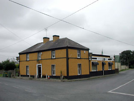 P. Conlanhouse · 651 yd
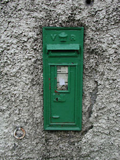 post boxpost box · 664 yd
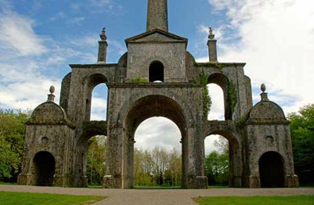 Enclosure in Boley LittleEnclosure · 1034 yd
 Enclosure in KilbogganEnclosure · 1170 yd
 CastleCastle, unclassified · 1.7 mi
 Battle of Kilrushbattle · 2.0 mi
 Site of CastleCastle, unclassified · 2.4 mi
 History of Moat of ArdscullVisitor information · 3.0 mi
 European BeechEuropean Beech · 3.0 mi
 Gorden Bennet Race memorialMemorial · 3.1 mi
 Derryvullagh IslandForest · 3.1 mi
 Burtown House and GardensHeritage attraction · 5.2 mi
Other information
Photo: Credit not shown in the picture search · Rights wording not checked; contact us if this picture should be removed