What is recorded here
Cropmark of fosse of roughly oval enclosure (diam. c. 40m) visible in aerial photograph (CASAP, July 1989); possible entrance to SE.
The above description is derived from the published 'Archaeological Inventory of County Cork. Volume 4: North Cork' (Dublin: Stationery Office, 2000). In certain instances the entries have been revised and updated in the light of recent research.
Date of upload/revision: 14 January 2009
The monument record does not grant public access. Check the route and ask the landowner before entering private land.
- What survives
- Recorded monument
Places near here
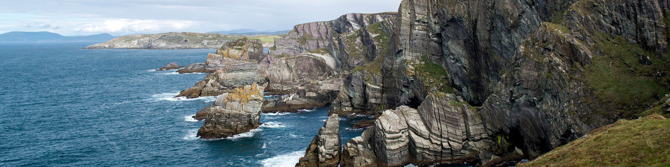 IndicatedFairy fort / earthen ringfort · 205 yd
 Bawn of Kilmaclenine (in Ruins)House, fortified house · 634 yd
 Kilmaclenine CastleCastle · 669 yd
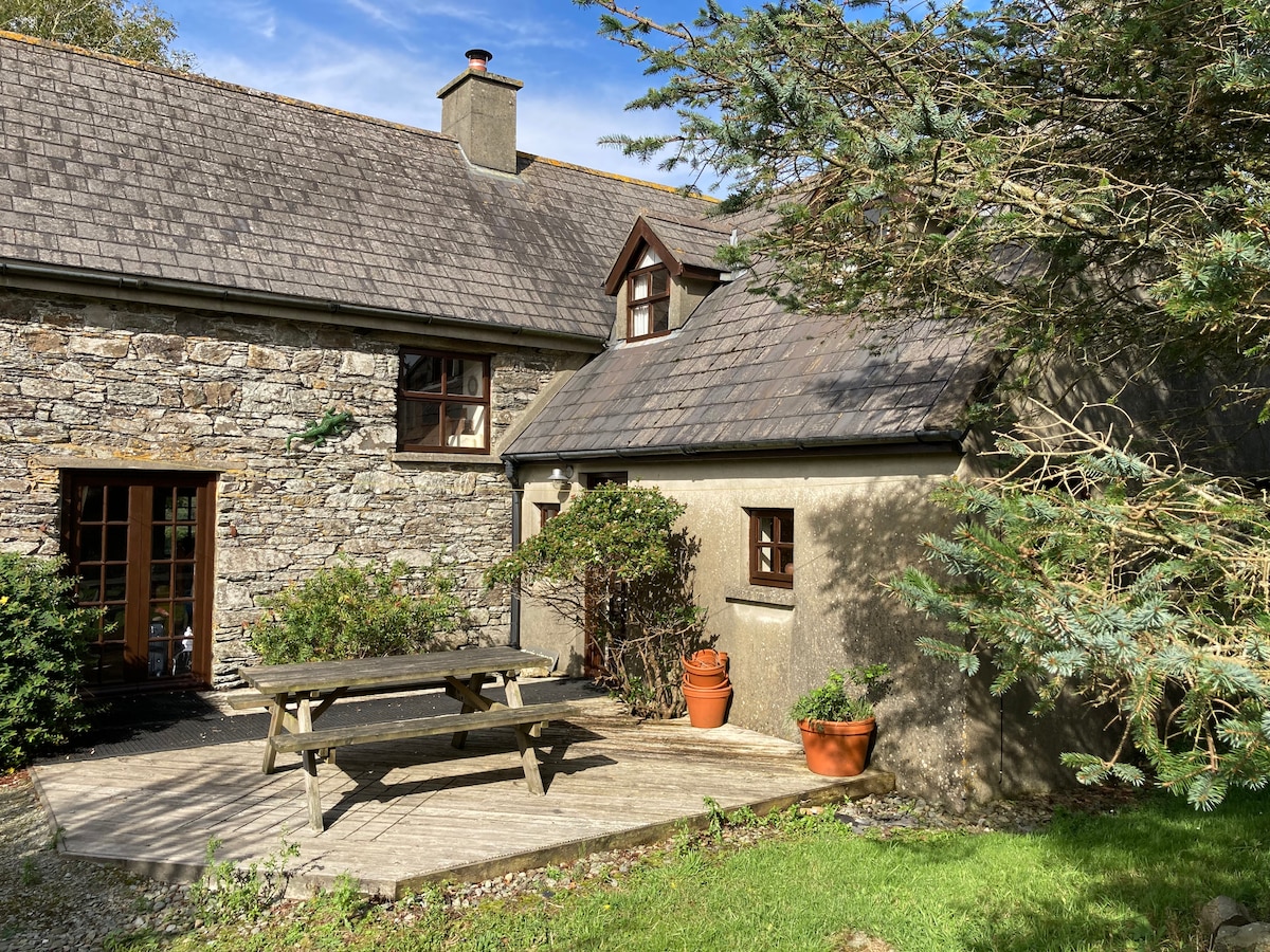 Enclosure in Boherascrub WestEnclosure · 723 yd
 Kilmaclenine Church (in Ruins)Church · 959 yd
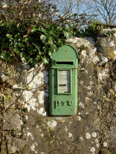 post boxpost box · 1.2 mi
 Lady's WellSpring · 1.6 mi
 Graveyard in Ballygiblin (duhallow By.)Graveyard · 3.5 mi
 Battle of LiscarrollMajor battlefield · 4.7 mi
 European YewEuropean Yew · 5.0 mi
 Burial ground in AssolasBurial ground · 5.3 mi
 St Fursey's WellSpring · 7.5 mi