What is recorded here
Overgrown with trees and scrub. Indicated as a circular enclosure (overall diam. c. 82m N-S; c. 80m E-W) on the 1st (1839) ed. OS 6-inch map and on the 1899-1902 revision of this map. A public road runs NE-SW along the outer edge of the NW quadrant. The townland boundary runs along the middle of this road to the NW, before turning S to run along the outer edge of the enclosure in the W-SW-SSE.
Compiled by: Jean Farrelly
Date of upload: 27 September 2021
The monument record does not grant public access. Check the route and ask the landowner before entering private land.
- What survives
- Recorded monument
Places near here
 O'Gorman's Lane LoopWalking route · 804 yd
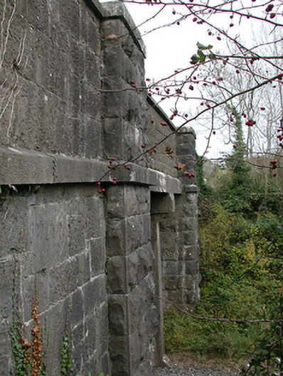 bridgebridge · 964 yd
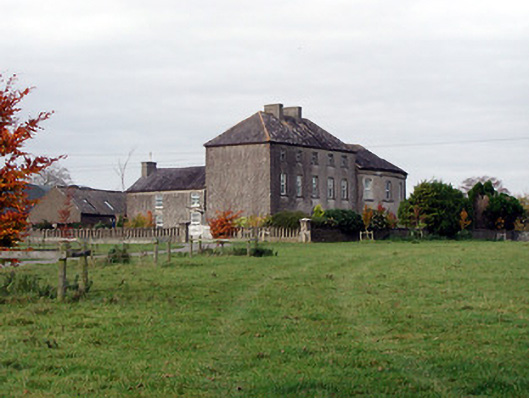 Blackwell Lodgecountry house · 1045 yd
 Time CapsuleMemorial · 1386 yd
 Enclosure in Kilree (knocktopher By.)Enclosure · 1619 yd
 Enclosure in Carran (gowran By., Bennettsbridge Ed)Enclosure · 1.0 mi
 Bishopslough Hunt CovertForest · 1.2 mi
 Dunbell Big RingfortWood · 1.2 mi
 Kilbline GraveyardArchaeological place · 1.5 mi
 Kilbline CastleCastle, tower house · 1.5 mi
 Ballynaboley Castle (in ruins)Castle, tower house · 1.7 mi
 Tullaherin Church and Round TowerVisitor information · 1.8 mi