
What is recorded here
Geophysical survey (Licence no. 12R010) undertaken by the Discovery Programme as part of the ‘Late Iron Age and “Roman” Ireland’ project identified a ditched enclosure (40m diam.). There may be an entrance gap on the east and a number of pit‐type features were recorded to the northeast of the enclosure (Dowling 2013, 16).
Compiled by: Christine Baker
Date of upload: 4 February 2015
The monument record does not grant public access. Check the route and ask the landowner before entering private land.
- What survives
- Recorded monument
Places near here
 Field system in BlacklandField system · 260 yd
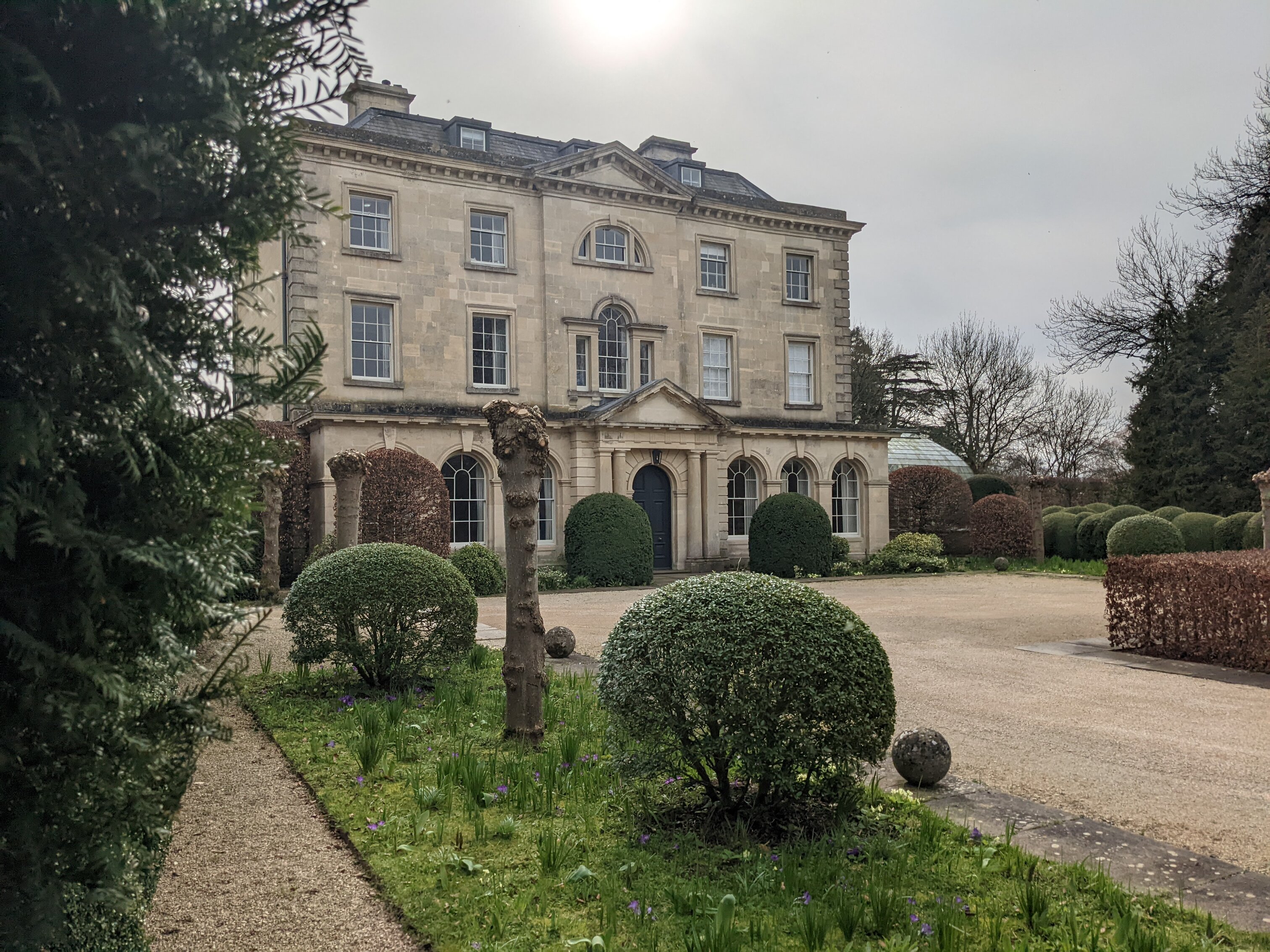 Enclosure in BlacklandEnclosure · 317 yd
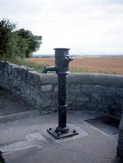 water pumpwater pump · 914 yd
 LoughshinnyVisitor information · 957 yd
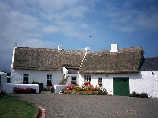 farm housefarm house · 1064 yd
 Castle (in ruins)Castle, Anglo-Norman masonry castle · 1.1 mi
 The MillbankVisitor information · 1.5 mi
 Rush South BeachBeach / strand · 2.1 mi
 Flat cemetery in BalcunninFlat cemetery · 2.2 mi
 Joe’s BridgeMemorial · 2.3 mi
 Reilly's HillWood · 3.7 mi
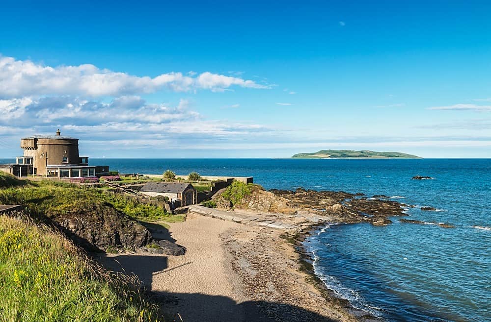 Tower Bay BeachBeach / strand · 3.7 mi
Other information
Photo: Credit not shown in the picture search · Rights wording not checked; contact us if this picture should be removed