What is recorded here
Located almost 90m south-east of enclosure (DU008-052----) this enclosure was identified on aerial photography along with a field system (DU008-052003-) (SMR file; pers. comm. T. Condit). Geophysical survey by the Discovery Programme LIARI Project identified a positive annular band measuring 2m in average width and 32m in diameter. Several small, pit‐type anomalies and a semi‐circular band of enhanced magnetic responses were recorded inside the enclosure and could conceivably represent the remains of a building (Dowling 2013, 15).
Compiled by: David O’Connor
Updated by: Christine Baker
Date of upload: 19 December 2014
The monument record does not grant public access. Check the route and ask the landowner before entering private land.
- What survives
- Recorded monument
Places near here
 Field system in BlacklandField system · 90 yd
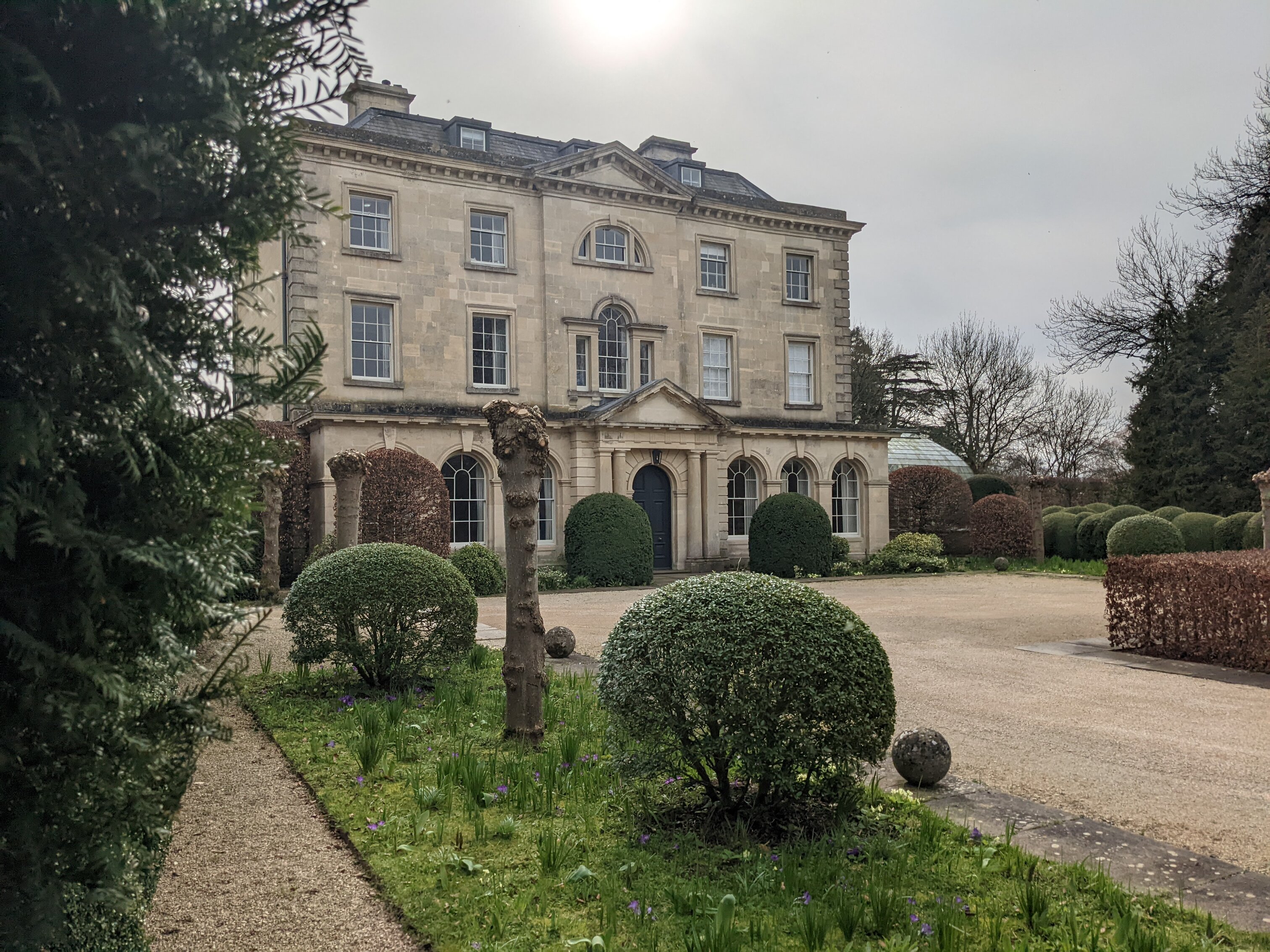 Enclosure in BlacklandEnclosure · 97 yd
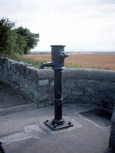 water pumpwater pump · 872 yd
 LoughshinnyVisitor information · 916 yd
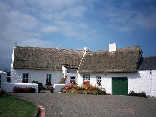 farm housefarm house · 1139 yd
 Castle (in ruins)Castle, Anglo-Norman masonry castle · 1662 yd
 The MillbankVisitor information · 1.6 mi
 Flat cemetery in BalcunninFlat cemetery · 2.1 mi
 Rush South BeachBeach / strand · 2.2 mi
 Joe’s BridgeMemorial · 2.3 mi
 Shenick IslandIslet · 2.3 mi
 Reilly's HillWood · 3.8 mi