What is recorded here
In a hollow at the bottom of a W-facing slope. Subrectangular grass-covered area with lazy-beds (dims 32m NNE-SSW; 20.5m WNW-ESE) defined by a collapsed drystone wall, partially covered with spoil. It is a small field.
Compiled by: Michael Moore
Date of upload: 24 August 2010
A local fairy fort (ringfort/rath); wider significance not recorded.
The monument record does not grant public access. Check the route and ask the landowner before entering private land.
- What survives
- Recorded monument
Places near here
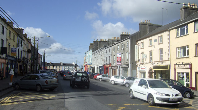 IndicatedEnclosure · 945 yd
 Kilcommon ChurchChurch · 1168 yd
 Carnagh West RingfortArchaeological place · 1.1 mi
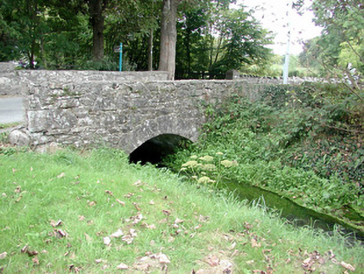 Historic buildingOfficially recorded historic building · 1.3 mi
 Carrownure BayBay · 1.8 mi
 Kilmore BayBay · 1.8 mi
 Rindown CastleCastle, Anglo-Norman masonry castle · 2.2 mi
 RindoonWood · 2.2 mi
 St. John's WoodWood · 2.4 mi
 InchmoreIslet · 2.5 mi
 InchihicleleyIslet · 2.6 mi
 CastleCastle, tower house · 3.1 mi