
What is recorded here
Aerial photograph (GB89.M.16) shows an incomplete curvilinear enclosure defined by two concentric fosses ditch (one of three cropmark sites in close proximity).
Compiled by: Dr Gillian Barrett for the Archaeological Survey of Ireland.
Date of upload: 10 June 2009
The monument record does not grant public access. Check the route and ask the landowner before entering private land.
- What survives
- Recorded monument
Places near here
 Enclosure in BectiveEnclosure · 388 yd
 Wych ElmWych Elm · 501 yd
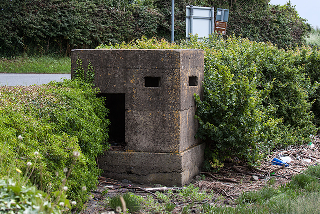 Enclosure in Gillstown (navan Upper By.)Enclosure · 774 yd
 Gate LodgeRuins · 797 yd
 Clady ChurchChurch · 886 yd
 Small-leaved ElmSmall-leaved Elm · 932 yd
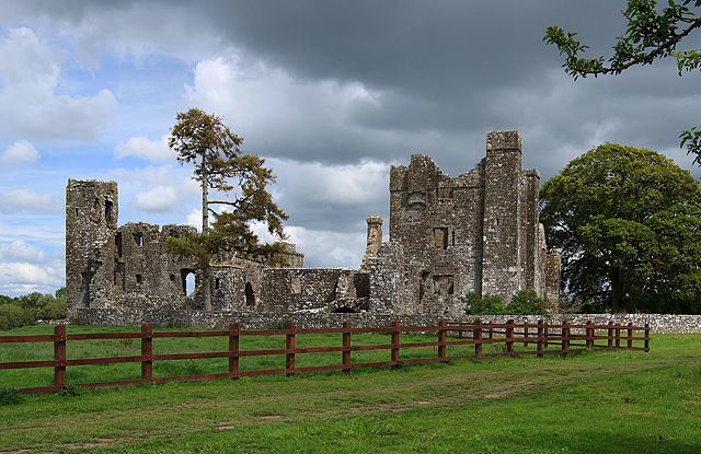 IndicatedCastle, tower house · 1547 yd
 Assey CastleCastle, tower house · 1.2 mi
 Saint Patrick'sMemorial · 4.3 mi
 Battle of Tara (Ireland)Major battlefield · 4.3 mi
 Battle of Tara Hillbattle · 4.3 mi
 Hill of TaraVisitor information · 4.3 mi
Other information
Photo: Credit not shown in the picture search · Rights wording not checked; contact us if this picture should be removed