
What is recorded here
Aerial photographs (GB89.M.19 & 22) show a complex cropmark enclosure probably coinciding with the site of the Man-made underground passage (SMR ME031-009---). The cropmark consists of an irregular curvilinear enclosure, with internal divisions, defined by a fosse and with a contiguous rectilinear field. Cropmarks indicative of a more extensive field system can also be seen in the small patches of ripening crop (yellow on the a/p).
Compiled by: Dr Gillian Barrett for the Archaeological Survey of Ireland.
Date of upload: 10 June 2009
The monument record does not grant public access. Check the route and ask the landowner before entering private land.
- What survives
- Recorded monument
Places near here
 Wych ElmWych Elm · 177 yd
 Enclosure in BectiveEnclosure · 252 yd
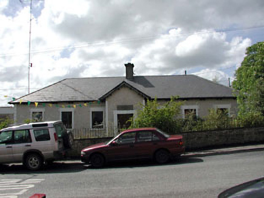 Bective National Schoolschool · 616 yd
 Font (present location) in BalbradaghFont (present location) · 648 yd
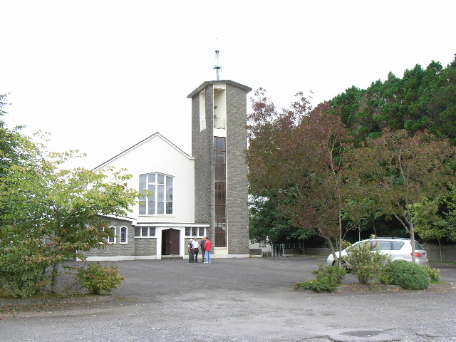 Catholic Church of the Assumptionchurch/chapel · 660 yd
 Small-leaved ElmSmall-leaved Elm · 973 yd
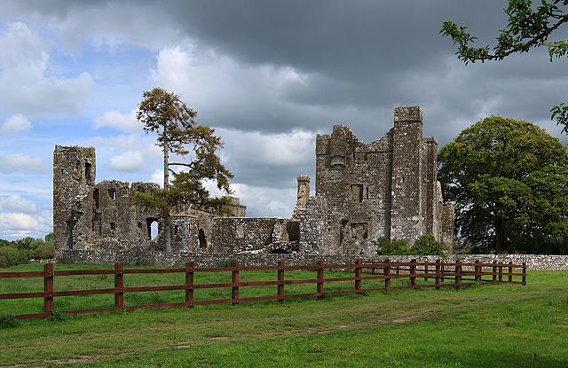 IndicatedCastle, tower house · 1749 yd
 Trubley CastleCastle, tower house · 1.3 mi
 BohermeenMountain / peak · 4.5 mi
 Saint Patrick'sMemorial · 4.5 mi
 Battle of Tara (Ireland)Major battlefield · 4.5 mi
 Battle of Tara Hillbattle · 4.5 mi
Other information
Photo: Credit not shown in the picture search · Rights wording not checked; contact us if this picture should be removed