
What is recorded here
An aerial photograph taken in 1971 (FSI 224/5/6) shows traces of an enclosure which appears to be defined by a low bank (dims. L 30m; Wth 18m). Not visible at ground level.
Compiled by: Geraldine Stout
Date of upload: 26 August 2011
A local fairy fort (ringfort/rath); wider significance not recorded.
The monument record does not grant public access. Check the route and ask the landowner before entering private land.
- What survives
- Recorded monument
Places near here
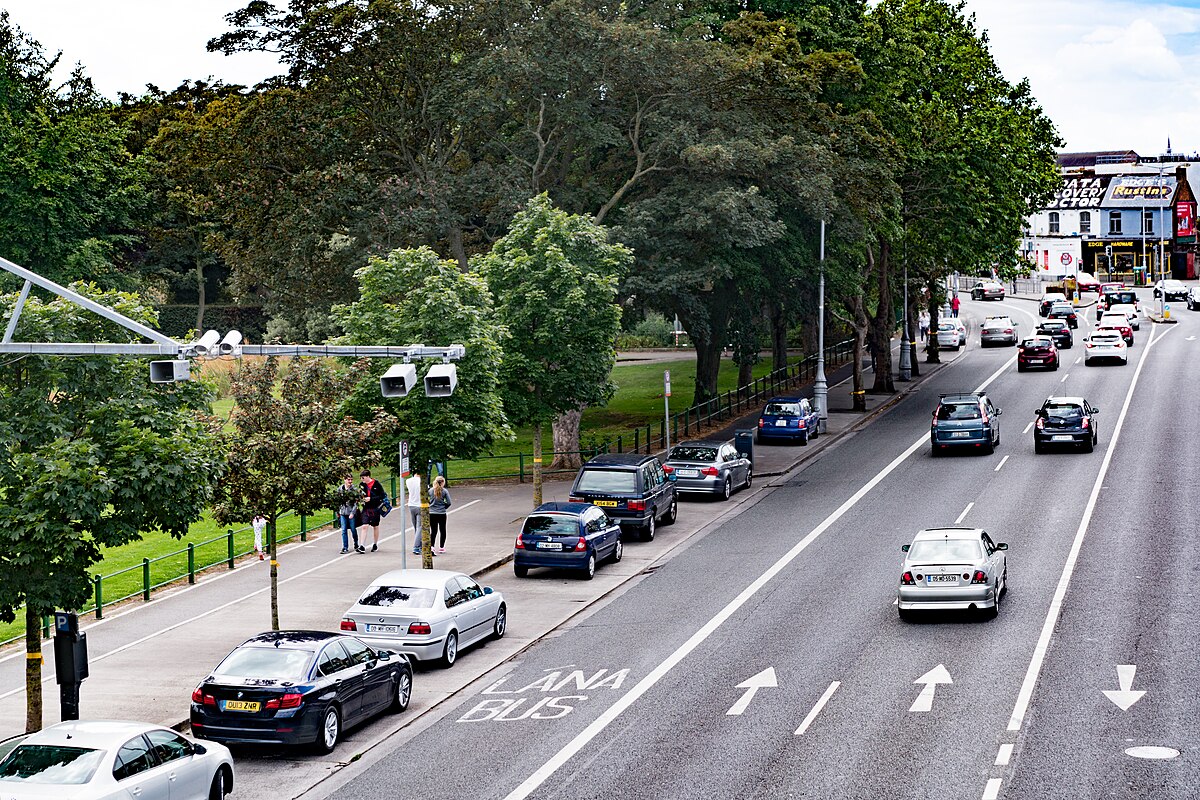 Well in FairviewWell · 646 yd
 MillMill, unclassified · 717 yd
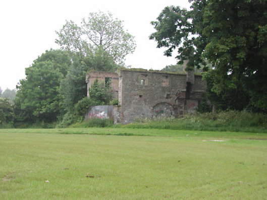 Fairview Oil Millsmill (water) · 721 yd
 CastleCastle, tower house · 729 yd
 IndicatedMoated site · 764 yd
 Corkagh DemesneMemorial · 1042 yd
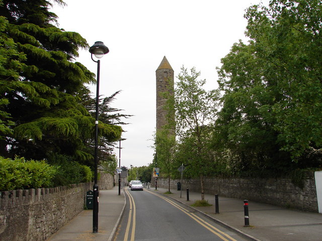 The Round TowerVisitor information · 1217 yd
 Clondalkin Round TowerHeritage attraction · 1231 yd
 Nangor castleCastle, unclassified · 1401 yd
 Fairy WoodWood · 1611 yd
 Veronica Guerin memorialMemorial · 1684 yd
 Early Stadium DesignHeritage attraction · 1.6 mi
Other information
Photo: Credit not shown in the picture search · Rights wording not checked; contact us if this picture should be removed