What is recorded here
A linear cropmark showing three sides of a possible rectangular enclosure (min. c. 40m NW-SE; c. 20m NE-SW) is visible in an aerial photograph (AP: Dr D.D.C. Pochin Mould) taken in July 1989. The SE side of the enclosure is truncated by the townland boundary and the field to the S of this boundary is built on. A bivallate circular enclosure (CO073-095001-) lies immediately to the N. The EMC factory constructed in Barangore in the 1990s was built on the site of the enclosures (Lane 2000b, 2).
The above description is derived from 'The Archaeological Inventory of County Cork. Volume 5' (Dublin: Stationery Office, 2009).
Date of upload: 22 December 2009
The monument record does not grant public access. Check the route and ask the landowner before entering private land.
- What survives
- Recorded monument
Places near here
 Enclosure in BarnagoreEnclosure · 179 yd
 Pit-burial in BarnagorePit-burial · 366 yd
 Graveyard in Carrigane (muskerry East By.)Graveyard · 852 yd
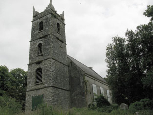 St Mary's Church of Ireland Churchchurch/chapel · 876 yd
 IndicatedKiln, lime · 884 yd
 Grange HillMountain / peak · 1542 yd
 Hugh MaguireMemorial · 1.2 mi
 Iniscarra Dam ViewViewpoint · 1.6 mi
 Ballincollig CastleCastle · 1.7 mi
 Ballincollig Castle (in Ruins)Castle, tower house · 1.7 mi
 Cave in Ballincollig (muskerry East By., Carrigrohane Par.)Cave · 1.7 mi
 Sunday WellSpring · 3.1 mi